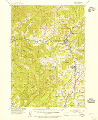
1954 Map of Glide
USGS Topo · Published 1980About this map
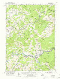
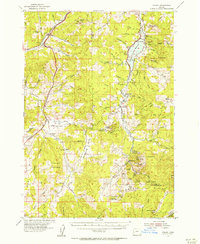
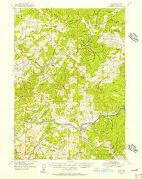
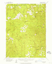
English Settlement and Oldham define the agrarian upper reaches of the Calapooya Creek drainage, where small communities were established amidst a landscape of prominent ridges. In the mid-1950s, the area's economy relied heavily on its natural resources, evidenced by the Bonanza Mine and several gravel pits. To the south, the confluence of the North Fork and the Little River at Glide serves as a focal point for settlement, with the winding North Umpqua River providing a vital corridor for travel and infrastructure. The map reveals a transition from these low-lying valleys to the high peaks of Scott Mtn and Ben More Mountain. Along the river, the Rock Creek Fish Hatchery and Idleyld Park indicate early recreational and conservation footprints, while a Railroad line and various tunnels near Nonpareil highlight the engineering required to navigate this complex terrain.
Find a feature on this map
86 named features on this map. Tap any name to fly to it.
Don’t see what you’re looking for? This feature index may not catch every label — zoom into the map to look around manually.
Map Details
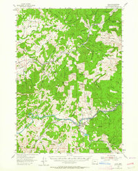
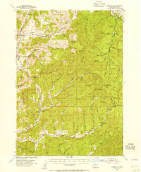
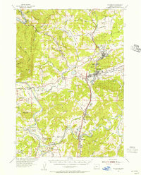
Editions of this 1954 Glide Map
3 editions found
Other maps of this area

1897 · Roseburg
USGS Topo · 1:125,000

1900 · Roseburg
USGS Topo · 1:125,000

1935 · Lowell
USGS Topo · 1:96,000

1942 · Lowell
USGS Topo · 1:125,000
1954 · Dixonville
USGS Topo · 1:62,500
1954 · Sutherlin
USGS Topo · 1:62,500
1954 · Drain
USGS Topo · 1:62,500
1954 · Anlauf
USGS Topo · 1:62,500
1954 · Glide
USGS Topo · 1:62,500
1955 · Red Butte
USGS Topo · 1:62,500