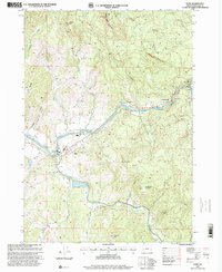
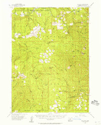
1987 Map of Glide
USGS Topo · Published 2000About this map
The confluence of the North Umpqua River and the Little River anchors the community of Glide, serving as a vital focal point for both settlement and infrastructure in this Douglas County region. By the late twentieth century, the area supported a mix of residential life at the Mobile Home Park and administrative presence at the North Umpqua Ranger Station. The North Umpqua Hwy follows the river's path, connecting smaller hubs like Idleyld Park to the broader landscape. Industry and resource management are evident through the Quarry and the Rock Creek Fish Hatchery near The Narrows. High points such as Scott Mountain and Ace Williams Mountain overlook a complex network of drainages, including Rattlesnake Creek and McComas Creek, which carve through the timbered terrain. This survey reflects a period when the timber-and-river economy remained central to the identity of these riverside communities.
Find a feature on this map
44 named features on this map. Tap any name to fly to it.
Don’t see what you’re looking for? This feature index may not catch every label — zoom into the map to look around manually.
Map Details
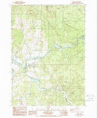
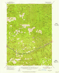
Editions of this 1987 Glide Map
2 editions found
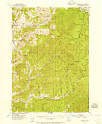
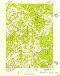
Other maps of this area

1897 · Roseburg
USGS Topo · 1:125,000

1900 · Roseburg
USGS Topo · 1:125,000
1954 · Dixonville
USGS Topo · 1:62,500
1954 · Glide
USGS Topo · 1:62,500
1955 · Red Butte
USGS Topo · 1:62,500
1955 · Mace Mtn
USGS Topo · 1:62,500

1958 · Roseburg
USGS Topo · 1:250,000

1959 · Roseburg
USGS Topo · 1:250,000
1978 · Diamond Lake
USGS Topo · 1:100,000
1979 · Roseburg
USGS Topo · 1:100,000