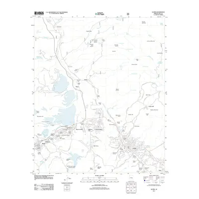
2011 Map of Globe
USGS Topo · Published 2011About this map
Industrial copper operations and the surrounding Gila County mountain communities define this study of the Arizona Copper Belt. The landscape is dominated by heavy industry, specifically the International Smelter and the Inspiration Concentrator north of Miami, while massive reclamation features like the Solitude Tailings Pond and Miami Tailings Pond underscore the scale of local mining. These industrial sites sit in close proximity to a dense network of residential areas including Claypool, Central Heights, and Little Acres.
Find a feature on this map
145 named features on this map. Tap any name to fly to it.
Don’t see what you’re looking for? This feature index may not catch every label — zoom into the map to look around manually.
Map Details
Editions of this 2011 Globe Map
This is the sole edition of this map. No revisions or reprints were ever made.
Other maps of this area
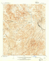
1901 · Globe
USGS Topo · 1:62,500
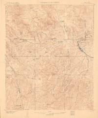
1902 · Globe
USGS Topo · 1:62,500
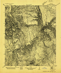
1922 · Chrysotile
USGS Topo · 1:125,000
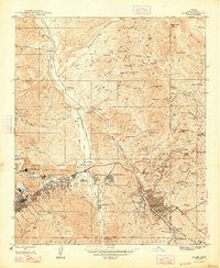
1945 · Globe
USGS Topo · 1:24,000
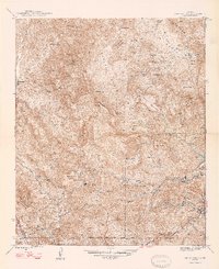
1945 · Inspiration
USGS Topo · 1:24,000
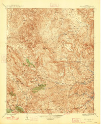
1947 · Inspiration
USGS Topo · 1:24,000
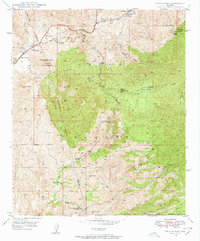
1948 · Pinal Ranch
USGS Topo · 1:24,000
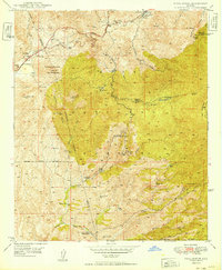
1949 · Pinal Ranch
USGS Topo · 1:24,000
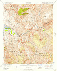
1949 · Rockinstraw Mtn
USGS Topo · 1:62,500
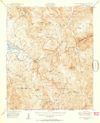
1950 · Rockinstraw Mtn
USGS Topo · 1:62,500