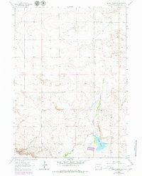
1963 Map of Glomill Reservoir
USGS Topo · Published 1979About this map
Goshen Hole Rim defines the southern portion of this high plains landscape, where the dramatic elevation change marks the edge of the Goshen Hole basin. The terrain is characterized by the winding path of Box Elder Creek, which flows northward toward the Glomill Reservoir. This area of Wyoming reflects a long-standing ranching tradition, evidenced by established homesteads such as Breckner Ranch and Teeters Ranch that sit within the drainage area. The 1979 photorevision updates the 1963 survey to include changes in woodland and man-made structures, providing a layered view of how land use and vegetation shifted in this corner of Goshen County during the mid-20th century.
Find a feature on this map
5 named features on this map. Tap any name to fly to it.
Don’t see what you’re looking for? This feature index may not catch every label — zoom into the map to look around manually.
Map Details
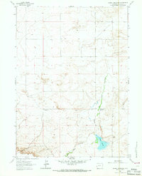
Editions of this 1963 Glomill Reservoir Map
2 editions found
Other maps of this area

1896 · Patrick
USGS Topo · 1:125,000

1896 · Hartville
USGS Topo · 1:125,000

1899 · Goshen Hole
USGS Topo · 1:125,000

1901 · Hartville
USGS Topo · 1:125,000

1950 · Rockeagle
USGS Topo · 1:24,000

1951 · Eagles Nest
USGS Topo · 1:24,000

1954 · Torrington
USGS Topo · 1:250,000

1954 · Cheyenne
USGS Topo · 1:250,000

1958 · Cheyenne
USGS Topo · 1:250,000

1958 · Torrington
USGS Topo · 1:250,000