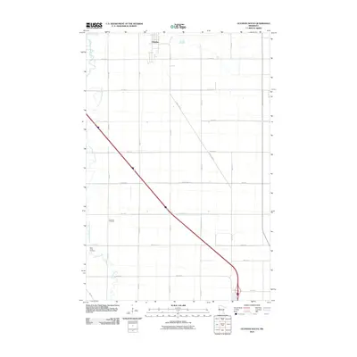
2010 Map of Glyndon South
USGS Topo · Published 2010About this map
The agricultural landscape of Glyndon in Clay County is defined by a rigid grid of rural roads and the winding path of the South Branch Buffalo River. In this corner of the Red River Valley, the settlement pattern is dominated by expansive sections of farmland intersected by major corridors like County Hwy 12 and Hwy 52. The placement of Elmwood Cemetery and Sabin Trinity Cemetery near the western boundary provides significant data points for family historians researching the early communities of this prairie region. Water sources such as Stony Creek offer a natural contrast to the geometric precision of the township roads, illustrating how the local drainage system interacts with the heavily managed agricultural environment at the turn of the 21st century.
Find a feature on this map
22 named features on this map. Tap any name to fly to it.
Don’t see what you’re looking for? This feature index may not catch every label — zoom into the map to look around manually.
Map Details
Editions of this 2010 Glyndon South Map
This is the sole edition of this map. No revisions or reprints were ever made.
Other maps of this area

1895 · Fargo
USGS Topo · 1:125,000

1897 · Fargo
USGS Topo · 1:125,000

1919 · Barnesville
USGS Topo · 1:62,500

1919 · Hawley
USGS Topo · 1:62,500

1952 · Barnesville
USGS Topo · 1:62,500

1953 · Fargo
USGS Topo · 1:250,000

1956 · Fargo
USGS Topo · 1:250,000

1964 · Sabin
USGS Topo · 1:24,000

1964 · Baker
USGS Topo · 1:24,000

1964 · Dilworth
USGS Topo · 1:24,000