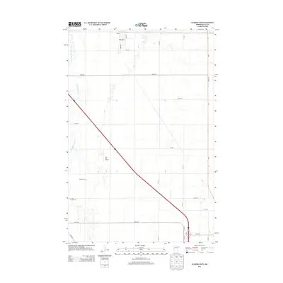
2013 Map of Glyndon South
USGS Topo · Published 2013About this map
Glyndon anchors the northern edge of this Clay County landscape, where the flat agricultural terrain of the Red River Valley is defined by a precise grid of section roads. The western reaches are carved by the winding course of the South Branch Buffalo River, also labeled as the S Br Buffalo River, which provides a natural contrast to the geometric lines of Parke Ave S and Lund Ave S.
Find a feature on this map
24 named features on this map. Tap any name to fly to it.
Don’t see what you’re looking for? This feature index may not catch every label — zoom into the map to look around manually.
Map Details
Editions of this 2013 Glyndon South Map
This is the sole edition of this map. No revisions or reprints were ever made.
Other maps of this area

1895 · Fargo
USGS Topo · 1:125,000

1897 · Fargo
USGS Topo · 1:125,000

1919 · Barnesville
USGS Topo · 1:62,500

1919 · Hawley
USGS Topo · 1:62,500

1952 · Barnesville
USGS Topo · 1:62,500

1953 · Fargo
USGS Topo · 1:250,000

1956 · Fargo
USGS Topo · 1:250,000

1964 · Sabin
USGS Topo · 1:24,000

1964 · Baker
USGS Topo · 1:24,000

1964 · Dilworth
USGS Topo · 1:24,000