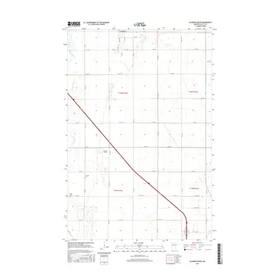
2016 Map of Glyndon South
USGS Topo · Published 2016About this map
Glyndon marks the northern edge of this agricultural landscape in Clay County, situated just as the prairie begins its transition south of the main rail corridors. The survey area is defined by the winding course of the South Branch Buffalo River, which cuts through the flat terrain in a series of tight oxbows and meanders. This 2016 record illustrates a modern rural grid system, where section lines and county roads organize the vast stretches of farmland surrounding the small settlement. The river's path provides the primary natural variation in a landscape otherwise dominated by industrial-scale agriculture and a precise network of arterial roads and interstate connectors.
Find a feature on this map
2 named features on this map. Tap any name to fly to it.
Don’t see what you’re looking for? This feature index may not catch every label — zoom into the map to look around manually.
Map Details
Editions of this 2016 Glyndon South Map
This is the sole edition of this map. No revisions or reprints were ever made.
Other maps of this area

1895 · Fargo
USGS Topo · 1:125,000

1897 · Fargo
USGS Topo · 1:125,000

1919 · Barnesville
USGS Topo · 1:62,500

1919 · Hawley
USGS Topo · 1:62,500

1952 · Barnesville
USGS Topo · 1:62,500

1953 · Fargo
USGS Topo · 1:250,000

1956 · Fargo
USGS Topo · 1:250,000

1964 · Sabin
USGS Topo · 1:24,000

1964 · Baker
USGS Topo · 1:24,000

1964 · Dilworth
USGS Topo · 1:24,000