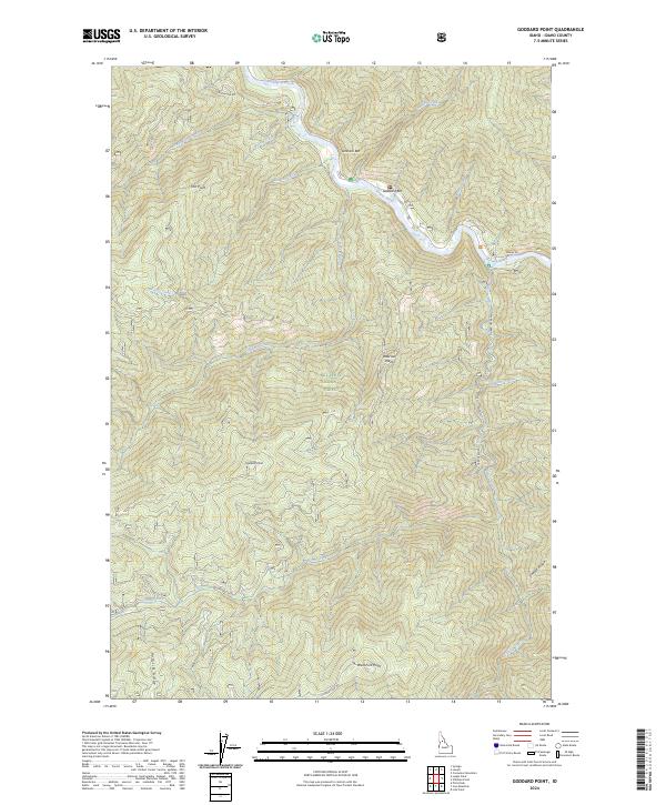
2024 Map of Goddard Point
USGS Topo · Published 2024About this map
The Middle Fork Clearwater Wildland Scenic River flows through the northern reaches of this Idaho landscape, dominated by the expansive Nez Perce National Forest. This modern 2024 survey documents a territory defined by sharp elevation changes and high ridges, including Radcliff Ridge and Saddle Ridge. The Selway River serves as a central artery for the region, where gravel bars like Goddard Bar and Johnson Bar mark the river's path through the steep terrain. Numerous watercourses, such as Elk City Creek, Goddard Creek, and Hamby Fork, drain the high points into the river system. Local transit is confined to primary routes like Selway Rd and O Hara Creek Rd, which provide access to remote landmarks such as Goddard Point and Peterson Point.
Find a feature on this map
26 named features on this map. Tap any name to fly to it.
Don’t see what you’re looking for? This feature index may not catch every label — zoom into the map to look around manually.
Map Details
Editions of this 2024 Goddard Point Map
This is the sole edition of this map. No revisions or reprints were ever made.
Other maps of this area

1911 · Lolo
USGS Topo · 1:250,000

1913 · Lolo
USGS Topo · 1:250,000

1924 · Weippe
USGS Topo · 1:125,000

1931 · Buffalo Hump
USGS Topo · 1:125,000

1934 · Buffalo Hump
USGS Topo · 1:125,000

1956 · Elk City
USGS Topo · 1:250,000

1956 · Hamilton
USGS Topo · 1:250,000

1959 · Hamilton
USGS Topo · 1:250,000

1960 · Elk City
USGS Topo · 1:250,000

1960 · Hamilton
USGS Topo · 1:250,000