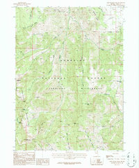
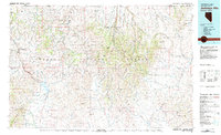
1986 Map of Gods Pocket Peak
USGS Topo · Published 1987About this map
The Jarbidge Mountains define this high-altitude landscape in northeastern Nevada, captured here during a mid-1980s provisional survey. As part of the Humboldt National Forest, the terrain is dominated by the Jarbidge Wilderness, a region where drainage patterns dictate the landscape's character. Significant peaks such as Gods Pocket Peak and Marys River Peak No 2 anchor the central and southern portions of the sheet, while the alpine waters of Jarbidge Lake and Emerald Lake sit tucked below the western ridges.
Find a feature on this map
29 named features on this map. Tap any name to fly to it.
Don’t see what you’re looking for? This feature index may not catch every label — zoom into the map to look around manually.
Map Details
Editions of this 1986 Gods Pocket Peak Map
2 editions found
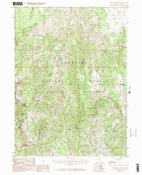
Other maps of this area

1943 · Jarbidge
USGS Topo · 1:62,500

1945 · Jarbidge
USGS Topo · 1:62,500

1955 · Wells
USGS Topo · 1:250,000

1957 · Elk Mountain
USGS Topo · 1:62,500

1958 · Wells
USGS Topo · 1:250,000

1961 · Wells
USGS Topo · 1:250,000

1968 · Marys River Basin NE
USGS Topo · 1:24,000
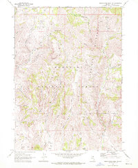
1968 · Marys River Basin NW
USGS Topo · 1:24,000
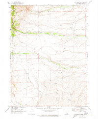
1970 · Sun Creek NW
USGS Topo · 1:24,000
1981 · Jarbidge Mts
USGS Topo · 1:100,000