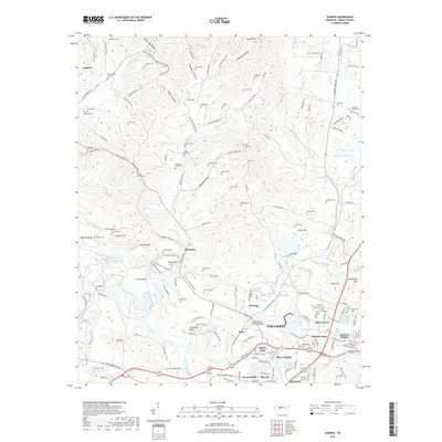
2019 Map of Godwin
USGS Topo · Published 2019About this map
The Duck River snakes through the center of this landscape, carving dramatic features such as Sellers Bluff and White Bend as it flows toward the outskirts of Columbia. The area exhibits a distinct transition from the dense suburban developments of Chantay Acres and Royal Oaks in the south to a more dispersed rural pattern further north. Numerous small family and community burial grounds, including Lasting Hope Cem, Witherspoon Cem, and Old Knob Creek Cem, are scattered among the hollows, reflecting generations of settlement in Maury County. The northern reaches are defined by a complex drainage system of small branches like Gaskill Br and Snow Cr that feed into the river valley. Local transportation history is visible in the network of old routes like Old Santa Fe Rd and the Chickasaw Trace Trail, which run parallel to modern developments near Athendale.
Find a feature on this map
163 named features on this map. Tap any name to fly to it.
Don’t see what you’re looking for? This feature index may not catch every label — zoom into the map to look around manually.
Map Details
Editions of this 2019 Godwin Map
This is the sole edition of this map. No revisions or reprints were ever made.
Other maps of this area

1901 · Colombia
USGS Topo · 1:125,000

1909 · Franklin
USGS Topo · 1:62,500

1936 · Godwin
USGS Topo · 1:24,000

1936 · Williamsport
USGS Topo · 1:24,000

1936 · Primm
USGS Topo · 1:24,000

1936 · Spring Hill
USGS Topo · 1:24,000

1936 · Theta
USGS Topo · 1:24,000

1936 · Carters Creek
USGS Topo · 1:24,000

1936 · Mount Pleasant
USGS Topo · 1:24,000

1936 · Glendale
USGS Topo · 1:24,000