2021 Map of Goehner
USGS Topo · Published 2021About this map
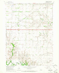
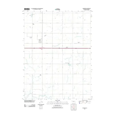
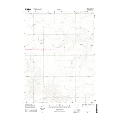
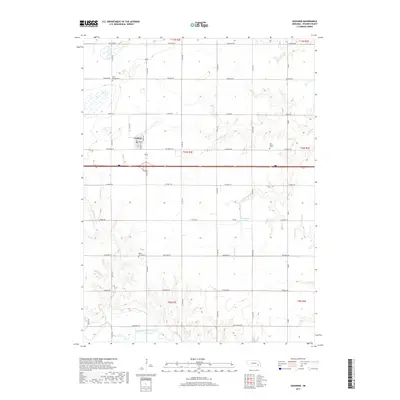
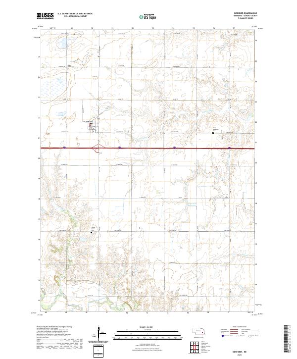
Goehner serves as the primary settlement center on this Nebraska plains landscape, where the Jeffersonian grid system dictates the movement of people and commerce across Seward County. The agricultural character of the region is punctuated by multiple legacy burial grounds that offer valuable data for family historians, including Mound Prairie Cem in the north and Walnut Creek Cem further south. Drainage patterns are defined by the winding West Fork Big Blue River and its various tributaries such as Lone Tree Cr and N Br Crooked Cr. While modern infrastructure like the Interstate and major section roads such as O Street Rd and Holdrege Rd facilitate modern travel, the map preserves the names of smaller water features like Coon Cr and Walnut Cr that have shaped the placement of farmsteads for generations.
Find a feature on this map
38 named features on this map. Tap any name to fly to it.
Don’t see what you’re looking for? This feature index may not catch every label — zoom into the map to look around manually.
Map Details
Editions of this 2021 Goehner Map
This is the sole edition of this map. No revisions or reprints were ever made.
Historical Maps of Goehner Through Time
5 maps found