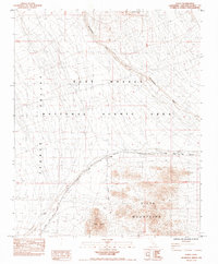
1984 Map of Goffs
USGS Topo · Published 1984About this map
The high desert community of Goffs serves as the central hub of this 1984 survey, situated at a significant rail and road junction in the Mojave. This location is defined by the heavy infrastructure of the Atchison Topeka and Santa Fe railroad, which cuts diagonally across the terrain toward the Piute Pass. To the north and west, the vast expanse of the Fenner Valley and the East Mojave National Scenic Area dominate the landscape, while the rugged peaks of the Piute Mountains rise to the south. Local industrial and natural landmarks like the US Arbor Mine and Goffs Butte provide specific points of interest for those tracing the history of desert mining and settlement. The mapping of Sacramento Wash and various underground pipelines further illustrates the complex management of resources in this arid environment during the early 1980s.
Find a feature on this map
16 named features on this map. Tap any name to fly to it.
Don’t see what you’re looking for? This feature index may not catch every label — zoom into the map to look around manually.
Map Details
Editions of this 1984 Goffs Map
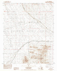
2 editions found
Other maps of this area

1886 · Camp Mohave
USGS Topo · 1:250,000

1892 · Camp Mohave
USGS Topo · 1:250,000

1910 · Ivanpah
USGS Topo · 1:250,000

1912 · Ivanpah
USGS Topo · 1:250,000

1926 · Mohave City
USGS Topo · 1:96,000

1942 · Camp Mohave
USGS Topo · 1:250,000

1942 · Ivanpah
USGS Topo · 1:250,000

1942 · Amboy
USGS Topo · 1:250,000

1943 · Amboy
USGS Topo · 1:250,000

1943 · Fenner
USGS Topo · 1:62,500