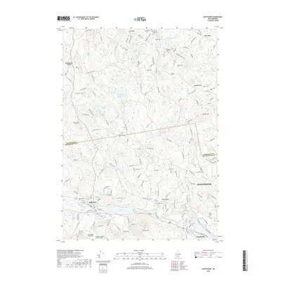
2018 Map of Goffstown
USGS Topo · Published 2018About this map
Goffstown and the Piscataquog River valley define this central New Hampshire landscape as it appeared in the late 2010s. The region is marked by a complex network of waterways including Glen Lake, Kimball Pond, and Harry Brook, which flow through the foothills of the Uncanoonuc Mountains. A notable architectural landmark is the Goffstown Covered Railroad Bridge, a bridge that represents the intersection of the state's historical timber-frame construction and its rail heritage.
Find a feature on this map
166 named features on this map. Tap any name to fly to it.
Don’t see what you’re looking for? This feature index may not catch every label — zoom into the map to look around manually.
Map Details
Editions of this 2018 Goffstown Map
This is the sole edition of this map. No revisions or reprints were ever made.
Other maps of this area

1905 · Manchester
USGS Topo · 1:62,500

1906 · Milford
USGS Topo · 1:62,500

1921 · Suncook
USGS Topo · 1:62,500

1927 · Concord
USGS Topo · 1:62,500

1941 · Manchester
USGS Topo · 1:62,500

1943 · Lowell
USGS Topo · 1:125,000

1943 · Fitchburg
USGS Topo · 1:125,000

1944 · Suncook
USGS Topo · 1:62,500

1948 · Boston
USGS Topo · 1:250,000

1949 · Portland
USGS Topo · 1:250,000