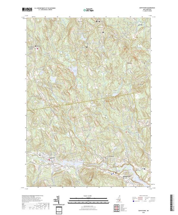
2024 Map of Goffstown
USGS Topo · Published 2024About this map
Goffstown serves as a primary hub on the Piscataquog River, where the landscape transitions from industrial riverfronts to the wooded hills of the Uncanoonuc Mountains. The river's path is marked by significant features like Glen Lake and Greggs Falls, illustrating the region's historical reliance on water power and natural topography. To the south, Pinardville shows more concentrated development, while the northern reaches toward Dunbarton Center and South Bow remain characterized by agricultural tracts and family-named landmarks like Brown Hill and Wood Hill. For those researching local heritage, the map is a vital resource for locating smaller historical sites, including several well-preserved grounds such as Westlawn Cem, Hillsborough County Cem, and Ordway Cem. The network of country roads, including Robert Rogers Rd and Tucker Hill Rd, connects these remote settlements and cemeteries, preserving the 19th-century settlement pattern into the modern era.
Find a feature on this map
64 named features on this map. Tap any name to fly to it.
Don’t see what you’re looking for? This feature index may not catch every label — zoom into the map to look around manually.
Map Details
Editions of this 2024 Goffstown Map
This is the sole edition of this map. No revisions or reprints were ever made.
Other maps of this area

1905 · Manchester
USGS Topo · 1:62,500

1906 · Milford
USGS Topo · 1:62,500

1921 · Suncook
USGS Topo · 1:62,500

1927 · Concord
USGS Topo · 1:62,500

1941 · Manchester
USGS Topo · 1:62,500

1943 · Lowell
USGS Topo · 1:125,000

1943 · Fitchburg
USGS Topo · 1:125,000

1944 · Suncook
USGS Topo · 1:62,500

1948 · Boston
USGS Topo · 1:250,000

1949 · Portland
USGS Topo · 1:250,000