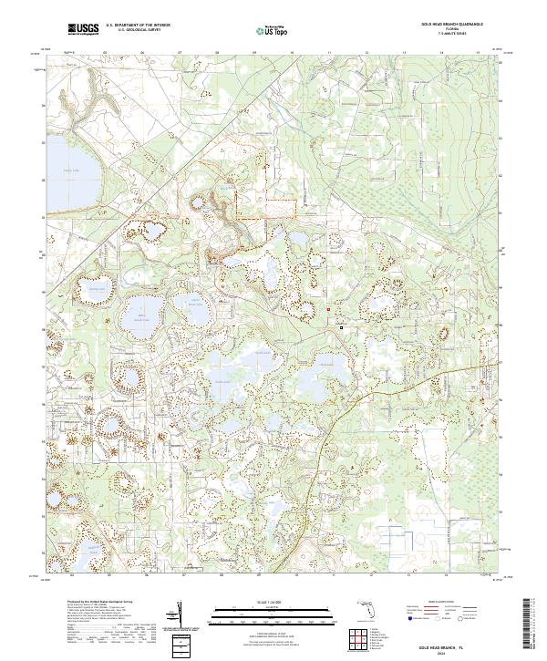
2024 Map of Gold Head Branch
USGS Topo · Published 2024About this map
Mike Roess Gold Head Branch State Park anchors this portion of Clay County, preserving a landscape of deep sinkholes and ravines. The park's namesake, Gold Head Branch, flows through the center of the sheet, carving through the sandy terrain. This area is characterized by a high concentration of water bodies including Lowry Lake, Gator Bone Lake, and White Sands Lake, reflecting the unique karst topography of North-Central Florida.
Find a feature on this map
190 named features on this map. Tap any name to fly to it.
Don’t see what you’re looking for? This feature index may not catch every label — zoom into the map to look around manually.
Map Details
Editions of this 2024 Gold Head Branch Map
This is the sole edition of this map. No revisions or reprints were ever made.
Other maps of this area

1915 · Interlachen
USGS Topo · 1:48,000

1916 · Interlachen
USGS Topo · 1:62,500

1938 · Hawthorn
USGS Topo · 1:48,000

1941 · Starke
USGS Topo · 1:62,500

1942 · Ates Creek
USGS Topo · 1:62,500

1943 · Hawthorn
USGS Topo · 1:62,500

1944 · Interlachen
USGS Topo · 1:62,500

1948 · Starke
USGS Topo · 1:50,000

1949 · Rice Creek
USGS Topo · 1:24,000

1949 · Baywood
USGS Topo · 1:24,000