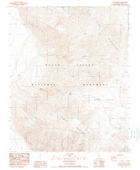
1988 Map of Gold Valley
USGS Topo · Published 1988About this map
Death Valley National Monument encompasses this arid landscape, where the high elevations of the Black Mountains descend into the desert floor. The topography is dominated by dramatic drainages like Sheep Canyon and the dry basins of Gold Valley, highlighting the extreme relief of the region. Scattered resource extraction points, labeled simply as Prospects or Gravel Pit, indicate the geologic interests that have long drawn explorers to this environment.
Find a feature on this map
11 named features on this map. Tap any name to fly to it.
Don’t see what you’re looking for? This feature index may not catch every label — zoom into the map to look around manually.
Map Details
Editions of this 1988 Gold Valley Map
This is the sole edition of this map. No revisions or reprints were ever made.
Other maps of this area

1908 · Furnace Creek
USGS Topo · 1:250,000

1910 · Furnace Creek
USGS Topo · 1:250,000

1933 · Avawatz Mountains
USGS Topo · 1:250,000

1947 · Trona
USGS Topo · 1:250,000

1948 · Trona
USGS Topo · 1:250,000

1948 · Death Valley
USGS Topo · 1:250,000

1950 · Wingate Wash
USGS Topo · 1:62,500

1950 · Confidence Hills
USGS Topo · 1:62,500

1951 · Funeral Peak
USGS Topo · 1:62,500

1952 · Bennetts Well
USGS Topo · 1:62,500