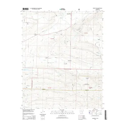
2014 Map of Golden City
USGS Topo · Published 2014About this map
Booneville sits at the northern edge of this Logan County landscape, where the valley floor of the Petit Jean River gives way to the rising elevations of the Ouachita National Forest. The transition from the open grazing lands of Earl Prairie to the high peaks of Huckleberry Mtn and Montgomery Mtn reflects the diverse terrain of the southern Ozark fringe. This survey documents a rural network of small settlements such as Carolan, Mixon, and Golden City, each historically centered around local agricultural and community hubs.
Find a feature on this map
105 named features on this map. Tap any name to fly to it.
Don’t see what you’re looking for? This feature index may not catch every label — zoom into the map to look around manually.
Map Details
Editions of this 2014 Golden City Map
This is the sole edition of this map. No revisions or reprints were ever made.
Other maps of this area

1879 · Poteau Mountain
USGS Topo · 1:62,500

1887 · Poteau Mountain #1
USGS Topo · 1:62,500

1887 · Mount Ida #2
USGS Topo · 1:62,500

1887 · Magazine Mountain #3
USGS Topo · 1:62,500

1887 · Magazine Mountain
USGS Topo · 1:62,500

1890 · Magazine Mountain
USGS Topo · 1:125,000

1890 · Mount Ida
USGS Topo · 1:125,000

1890 · Fort Smith
USGS Topo · 1:125,000

1890 · Poteau Mountain
USGS Topo · 1:125,000

1899 · Poteau Mountain
USGS Topo · 1:125,000