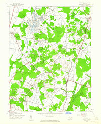
1944 Map of Goldsboro
USGS Topo · Published 1961About this map
The borderlands of Queen Anne's and Caroline Counties are defined here by a dense network of agricultural drainage and small settlements during the mid-1940s. The Pennsylvania railroad line serves as a central artery for the region, connecting the village of Goldsboro with the northern community of Henderson and the border town of Marydel. This era shows a landscape heavily modified for farming, with the Edenburg Ditch, Long Marsh Ditch, and Beaverdam Ditch channeling water across the flat terrain towards the Choptank River.
Find a feature on this map
28 named features on this map. Tap any name to fly to it.
Don’t see what you’re looking for? This feature index may not catch every label — zoom into the map to look around manually.
Map Details
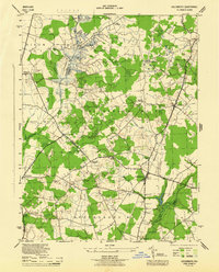
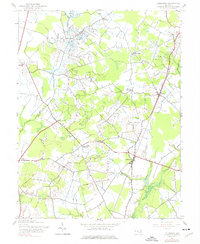
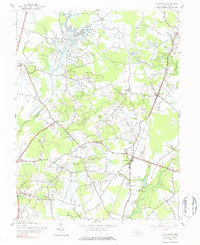
Editions of this 1944 Goldsboro Map
4 editions found
Other maps of this area

1899 · Dover
USGS Topo · 1:125,000

1905 · Denton
USGS Topo · 1:62,500

1905 · Barclay
USGS Topo · 1:62,500

1906 · Dover
USGS Topo · 1:125,000

1918 · Harrington
USGS Topo · 1:62,500

1920 · Dover
USGS Topo · 1:125,000

1926 · Wyoming
USGS Topo · 1:48,000

1930 · Wyoming
USGS Topo · 1:62,500

1931 · Wyoming
USGS Topo · 1:62,500

1944 · Denton
USGS Topo · 1:31,680