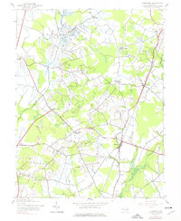
1944 Map of Goldsboro
USGS Topo · Published 1976About this map
Goldsboro serves as a central hub on the eastern shore during the mid-1940s, situated at the junction of the Pennsylvania railroad line and several vital rural corridors. The map illustrates a landscape shaped by drainage and agriculture, defined by the Edenburg Ditch and Beetree Ditch which feed into the upper reaches of the Choptank River. Smaller settlements like Henderson and Marydel anchor the northern reaches of the quadrangle, while various crossroads—such as Baltimore Corner and Hollingsworth Crossroads—point to a legacy of early transport networks. Local institutions are well-recorded for genealogists, including Bethel Ch, Zuckerman Ch, and Bethel Sch. The terrain is relatively flat, as indicated by the presence of a Borrow Pit and Sand Pits, reflecting the regional geology along the Queen Annes and Caroline County border.
Find a feature on this map
28 named features on this map. Tap any name to fly to it.
Don’t see what you’re looking for? This feature index may not catch every label — zoom into the map to look around manually.
Map Details
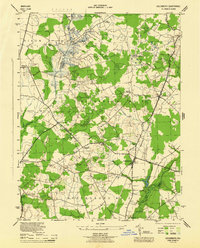
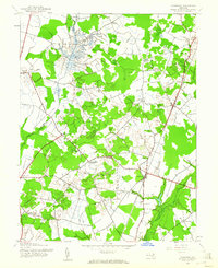
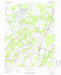
Editions of this 1944 Goldsboro Map
4 editions found
Other maps of this area

1899 · Dover
USGS Topo · 1:125,000

1905 · Denton
USGS Topo · 1:62,500

1905 · Barclay
USGS Topo · 1:62,500

1906 · Dover
USGS Topo · 1:125,000

1918 · Harrington
USGS Topo · 1:62,500

1920 · Dover
USGS Topo · 1:125,000

1926 · Wyoming
USGS Topo · 1:48,000

1930 · Wyoming
USGS Topo · 1:62,500

1931 · Wyoming
USGS Topo · 1:62,500

1944 · Denton
USGS Topo · 1:31,680