
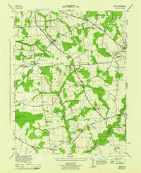
1944 Map of Denton
USGS Topo · Published 1944About this map
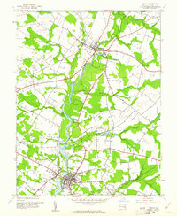
The Choptank River serves as the central artery of this Caroline County landscape, winding past a series of historical river access points including Brick Wall Landing, Smith Landing, and Adams Landing. These landings reflect an era when the river was vital for local commerce and transport, connecting the interior of the Eastern Shore. The town of Denton sits prominently at a bridge crossing, featuring the Lockerman Sch and nearby West Denton, while Greensboro anchors the northern portion of the sheet. Between these settlements, the land is marked by small rural communities like Boonsboro and agricultural landmarks such as the Caroline Co Farm. Religious and social life of the mid-1940s is represented by Piney Church and the Holiness Summer Camp, while the Pennsylvania (Oxford Branch) railroad line highlights the importance of rail logistics to the region's produce and industry during the war years.
Find a feature on this map
47 named features on this map. Tap any name to fly to it.
Don’t see what you’re looking for? This feature index may not catch every label — zoom into the map to look around manually.
Map Details
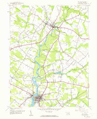
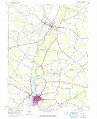
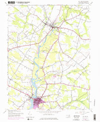
Editions of this 1944 Denton Map
5 editions found
Other maps of this area

1899 · Dover
USGS Topo · 1:125,000

1905 · Denton
USGS Topo · 1:62,500

1905 · Barclay
USGS Topo · 1:62,500

1906 · Dover
USGS Topo · 1:125,000

1918 · Harrington
USGS Topo · 1:62,500

1920 · Dover
USGS Topo · 1:125,000

1926 · Wyoming
USGS Topo · 1:48,000

1930 · Wyoming
USGS Topo · 1:62,500

1931 · Wyoming
USGS Topo · 1:62,500
1944 · Price
USGS Topo · 1:31,680