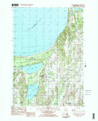
1983 Map of Good Harbor Bay
USGS Topo · Published 1984About this map
Lake Michigan dominates the northwestern edge of this 1980s landscape, where the shoreline of Good Harbor Bay meets the protected lands of the Sleeping Bear Dunes National Lakeshore. Moving inland, the map captures a transition from sandy coastal reaches to the agricultural and hilly interiors of Cleveland and Centerville townships. This area is defined by its glacial hydrology, featuring significant inland bodies of water such as Little Traverse Lake, Lime Lake, and the western edge of Lake Leelanau.
Find a feature on this map
34 named features on this map. Tap any name to fly to it.
Don’t see what you’re looking for? This feature index may not catch every label — zoom into the map to look around manually.
Map Details
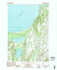
Editions of this 1983 Good Harbor Bay Map
2 editions found
Other maps of this area

1954 · Traverse City
USGS Topo · 1:250,000

1955 · Cheboygan
USGS Topo · 1:250,000

1957 · Traverse City
USGS Topo · 1:62,500

1957 · Northport
USGS Topo · 1:62,500

1957 · Maple City
USGS Topo · 1:62,500

1958 · Cheboygan
USGS Topo · 1:250,000

1958 · Traverse City
USGS Topo · 1:250,000
1983 · Burdickville
USGS Topo · 1:24,000

1983 · Maple City
USGS Topo · 1:24,000
1983 · Gills Pier
USGS Topo · 1:25,000