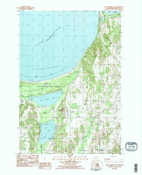
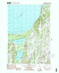
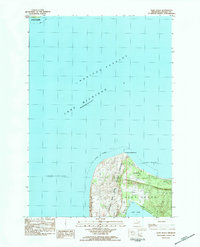
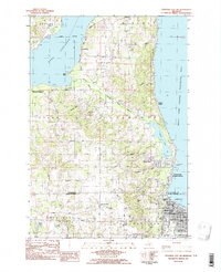
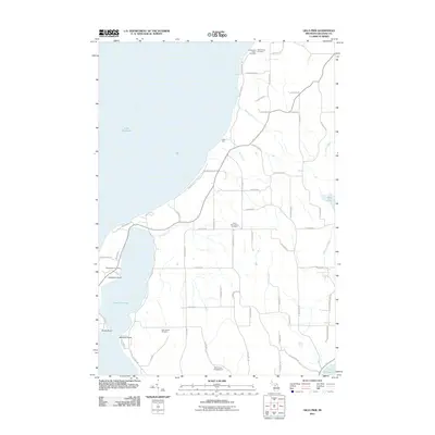
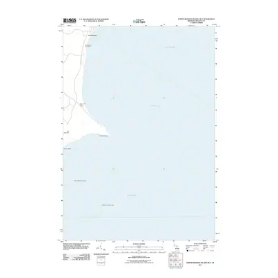
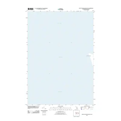
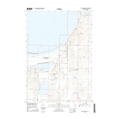
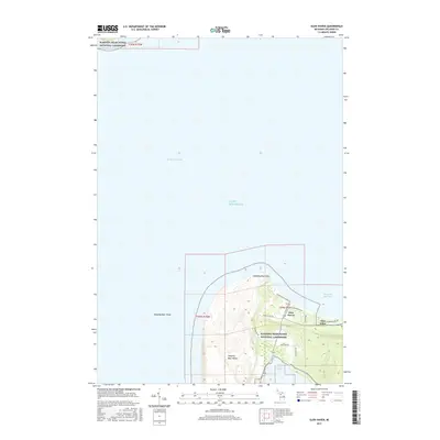
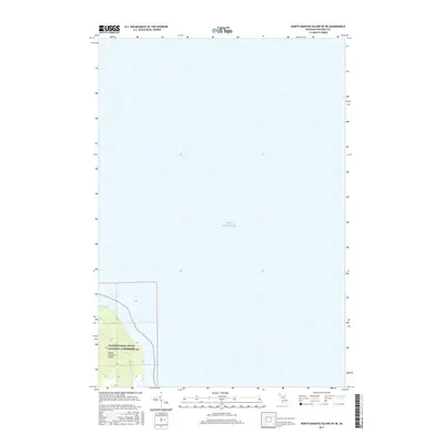
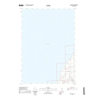
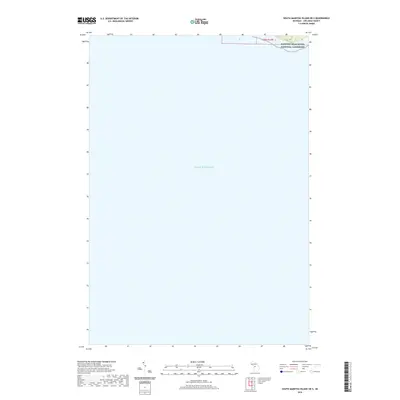
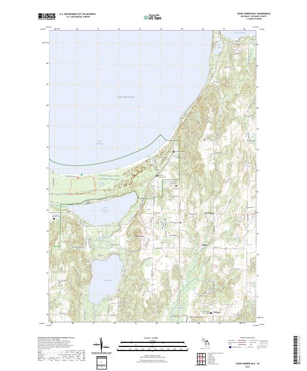
1983 Map of Good Harbor Bay
USGS Topo · Published 1984About this map
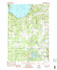
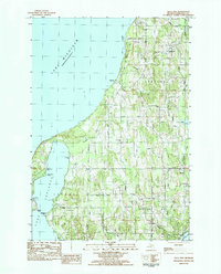
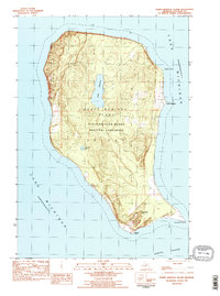
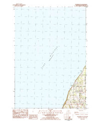
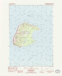
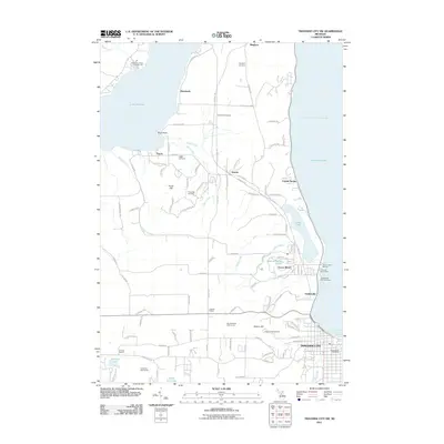
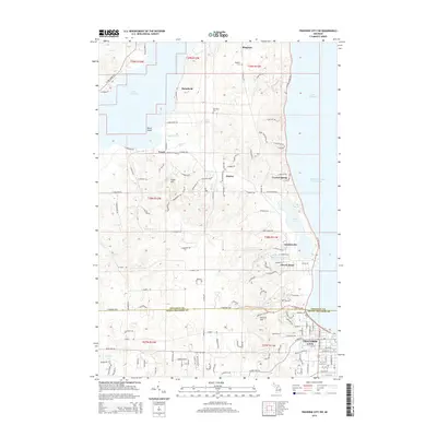
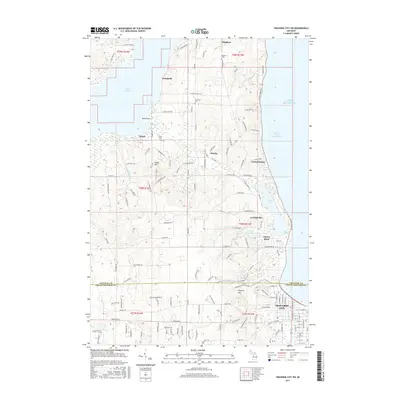
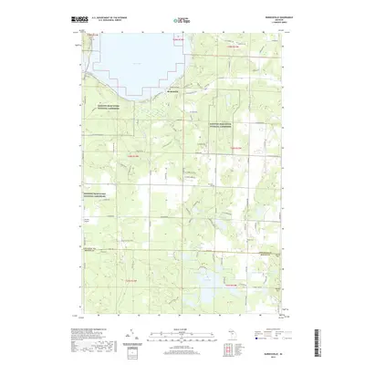
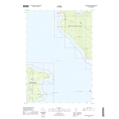
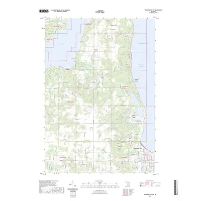
Sleeping Bear Dunes National Lakeshore occupies a significant portion of this coastal landscape, protecting the dunes and woodlands bordering Good Harbor Bay. The map reveals a rural community structure defined by small crossroads settlements like Shaldas Corner, Shetland, and Isadore, many of which grew around early parish life and township services. Large glacial water bodies, specifically Little Traverse Lake and Lime Lake, dominate the interior, their shorelines dotted with recreation sites such as the Lime Lake Campground. Cultural history is well-preserved through numerous religious and memorial sites, including St Pauls Ch, Holy Rosary Ch, and the Swedish Mission Cem. This survey illustrates the balance between the burgeoning national lakeshore's preservation and the established farming and residential tracts in Cleveland and Centerville townships during the early 1980s.
Find a feature on this map
35 named features on this map. Tap any name to fly to it.
Don’t see what you’re looking for? This feature index may not catch every label — zoom into the map to look around manually.
Map Details
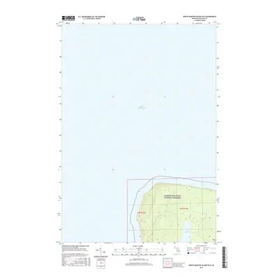
Editions of this 1983 Good Harbor Bay Map
2 editions found
Historical Maps of Bodus Through Time
80 maps found
1983 Burdickville
Leelanau County, MI
1983 Gills Pier
Leelanau County, MI
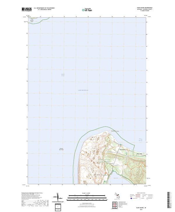
1983 Glen Haven
Leelanau County, MI
1983 Good Harbor Bay
Leelanau County, MI
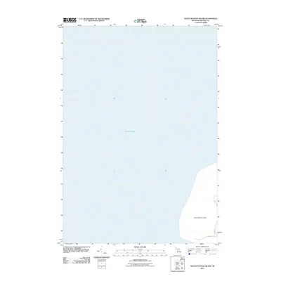
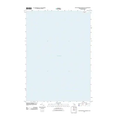
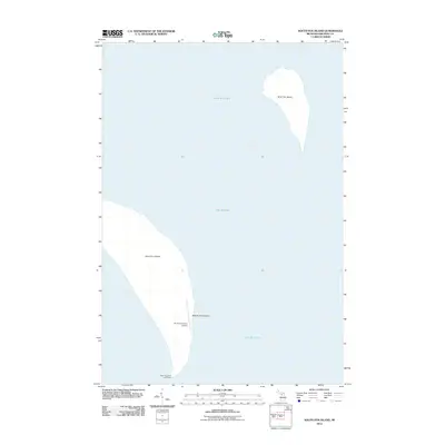
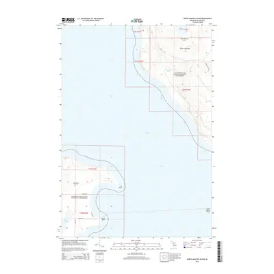
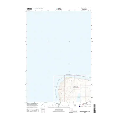
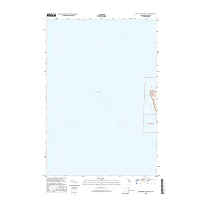
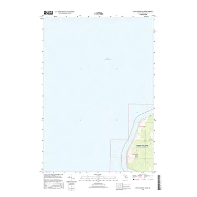
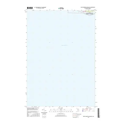
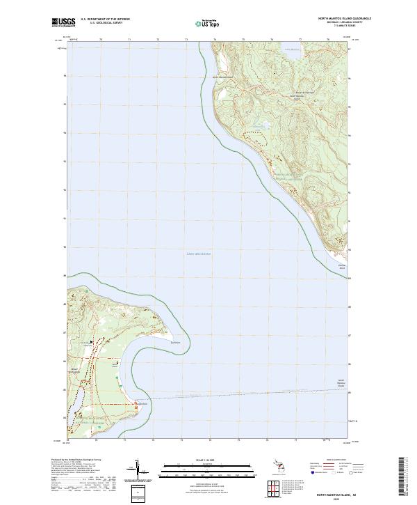
1983 North Manitou Island
Leelanau County, MI
1983 Northport NW
Leelanau County, MI
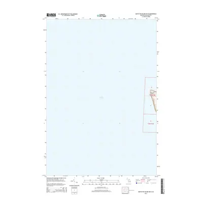
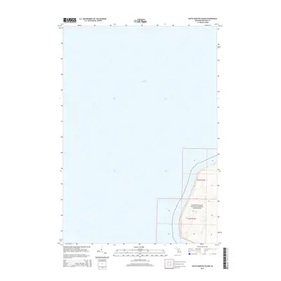
1983 South Manitou Island
Leelanau County, MI
1983 Traverse City SW
Leelanau County, MI
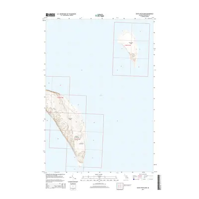
1986 South Fox Island
Leelanau County, MI
1997 North Manitou Island
Leelanau County, MI
2011 Burdickville
Leelanau County, MI
2011 Gills Pier
Leelanau County, MI
2011 Glen Haven
Leelanau County, MI
2011 Good Harbor Bay
Leelanau County, MI
2011 North Manitou Island
Leelanau County, MI
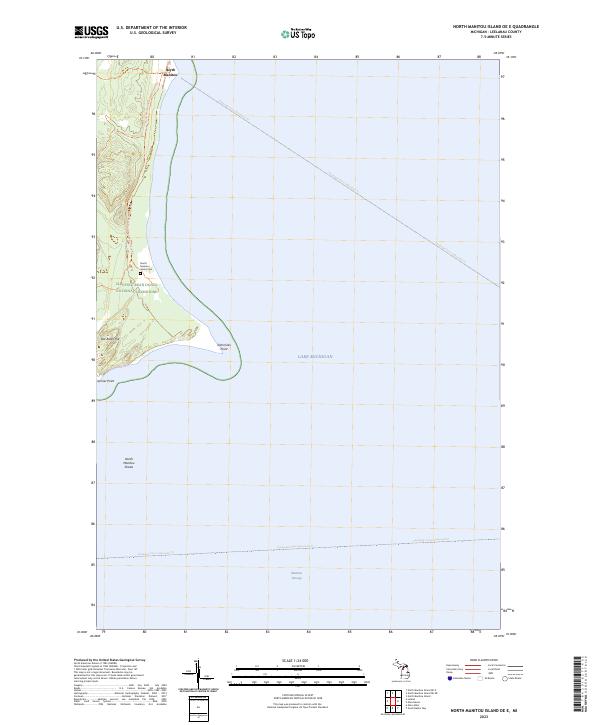
2011 North Manitou Island OE E
Leelanau County, MI
2011 North Manitou Island OE NE
Leelanau County, MI
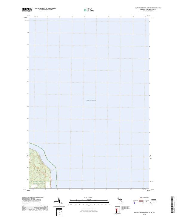
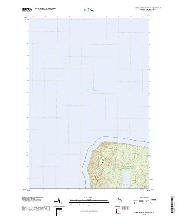
2011 North Manitou Island OE N
Leelanau County, MI
2011 Northport NW
Leelanau County, MI
2011 South Manitou Island
Leelanau County, MI
2011 South Manitou Island OE S
Leelanau County, MI
2011 Traverse City SW
Leelanau County, MI
2012 South Fox Island
Leelanau County, MI
2012 South Fox Island OE W
Leelanau County, MI
2014 Burdickville
Leelanau County, MI
2014 Gills Pier
Leelanau County, MI
2014 Glen Haven
Leelanau County, MI
2014 Good Harbor Bay
Leelanau County, MI
2014 North Manitou Island
Leelanau County, MI
2014 North Manitou Island OE E
Leelanau County, MI
2014 North Manitou Island OE NE
Leelanau County, MI
2014 North Manitou Island OE N
Leelanau County, MI

2014 Northport NW
Leelanau County, MI
2014 South Fox Island
Leelanau County, MI
2014 South Fox Island OE W
Leelanau County, MI
2014 South Manitou Island
Leelanau County, MI
2014 South Manitou Island OE S
Leelanau County, MI
2014 Traverse City SW
Leelanau County, MI
2017 Burdickville
Leelanau County, MI
2017 Gills Pier
Leelanau County, MI
2017 Glen Haven
Leelanau County, MI
2017 Good Harbor Bay
Leelanau County, MI
2017 North Manitou Island
Leelanau County, MI
2017 North Manitou Island OE E
Leelanau County, MI
2017 North Manitou Island OE NE
Leelanau County, MI
2017 North Manitou Island OE N
Leelanau County, MI
2017 Northport NW
Leelanau County, MI
2017 South Fox Island
Leelanau County, MI
2017 South Fox Island OE W
Leelanau County, MI
2017 South Manitou Island
Leelanau County, MI
2017 South Manitou Island OE S
Leelanau County, MI
2017 Traverse City SW
Leelanau County, MI
2019 Burdickville
Leelanau County, MI
2019 Gills Pier
Leelanau County, MI
2019 Glen Haven
Leelanau County, MI
2019 Good Harbor Bay
Leelanau County, MI
2019 North Manitou Island
Leelanau County, MI
2019 North Manitou Island OE E
Leelanau County, MI
2019 North Manitou Island OE NE
Leelanau County, MI
2019 North Manitou Island OE N
Leelanau County, MI
2019 Northport NW
Leelanau County, MI
2019 South Fox Island
Leelanau County, MI
2019 South Fox Island OE W
Leelanau County, MI
2019 South Manitou Island
Leelanau County, MI
2019 South Manitou Island OE S
Leelanau County, MI
2019 Traverse City SW
Leelanau County, MI
2023 Burdickville
Leelanau County, MI
2023 Gills Pier
Leelanau County, MI
2023 Glen Haven
Leelanau County, MI
2023 Good Harbor Bay
Leelanau County, MI
2023 North Manitou Island
Leelanau County, MI
2023 North Manitou Island OE E
Leelanau County, MI
2023 North Manitou Island OE NE
Leelanau County, MI
2023 North Manitou Island OE N
Leelanau County, MI
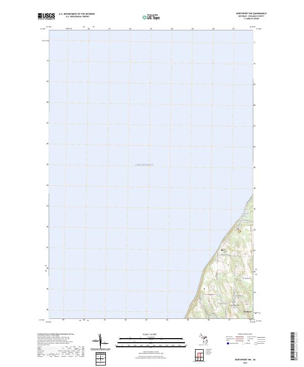
2023 Northport NW
Leelanau County, MI
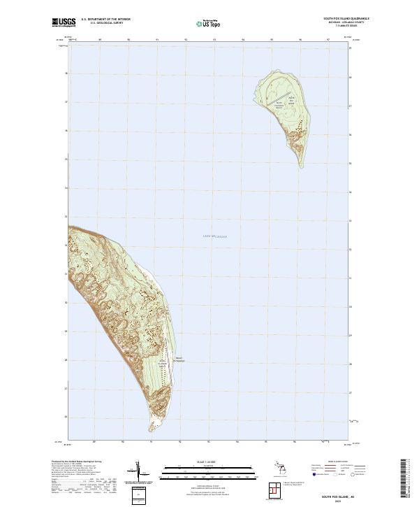
2023 South Fox Island
Leelanau County, MI
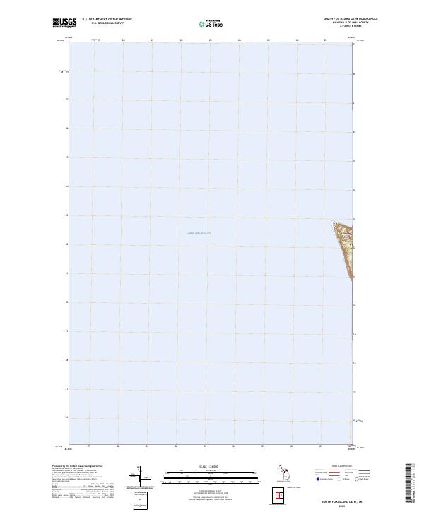
2023 South Fox Island OE W
Leelanau County, MI
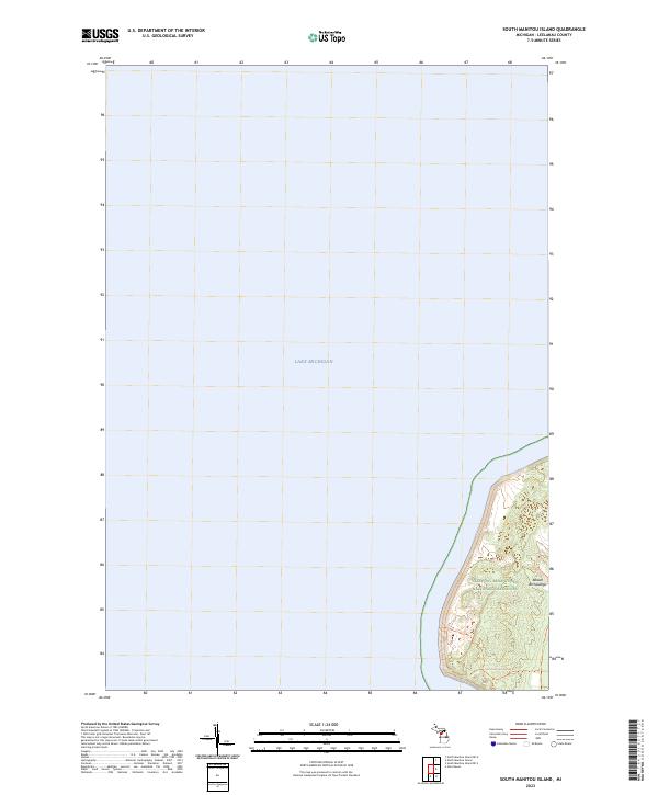
2023 South Manitou Island
Leelanau County, MI
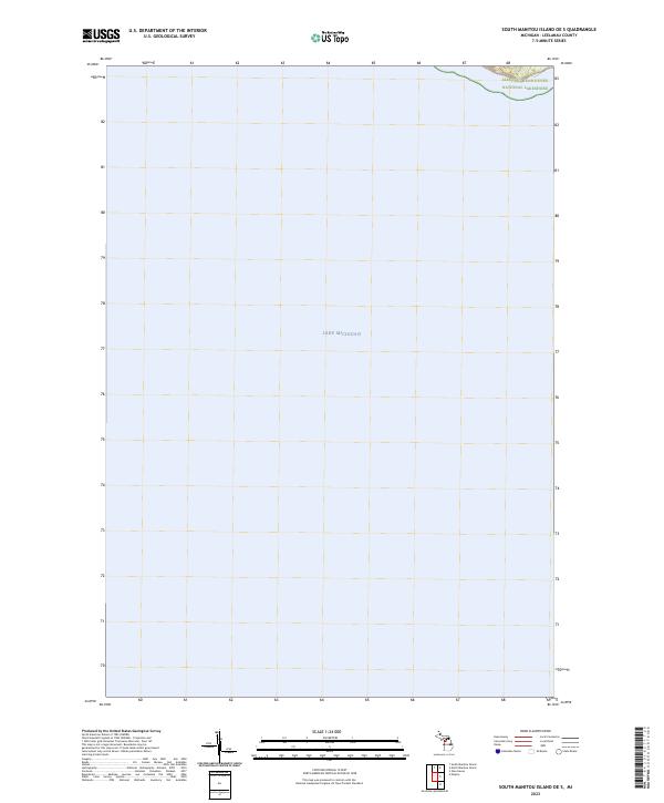
2023 South Manitou Island OE S
Leelanau County, MI
2023 Traverse City SW
Leelanau County, MI
Featured Locations
- Centerville Township, MI
- Cleveland Township, MI
- Leland Township, MI
- Bodus, Centerville Township
- Schomberg, Centerville Township