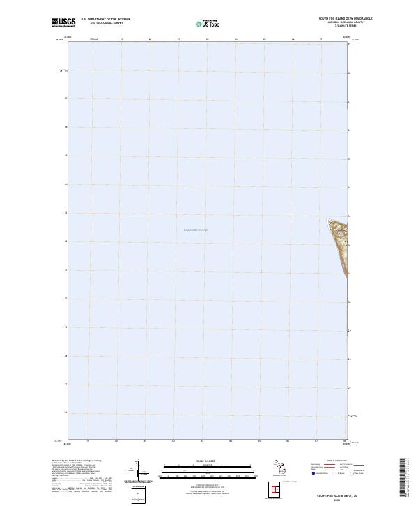
2023 Map of South Fox Island OE W
USGS Topo · Published 2023About this map
South Fox Island sits within the vast expanse of Lake Michigan in this 2023 survey. This particular quadrangle focuses on the western edge of the island and the surrounding waters, highlighting the isolation and specific geography of this northern Michigan archipelago. The map illustrates the island's western shoreline and the dividing lines for public land surveys, specifically t35n r13w and t34n r13w. These survey markers delineate the island’s topography and administrative boundaries as they were recorded in the early 2020s, serving as a modern point of reference for the remote Leelanau County terrain.
Find a feature on this map
7 named features on this map. Tap any name to fly to it.
Don’t see what you’re looking for? This feature index may not catch every label — zoom into the map to look around manually.
Map Details
Editions of this 2023 South Fox Island OE W Map
This is the sole edition of this map. No revisions or reprints were ever made.
Other maps of this area

1954 · Escanaba
USGS Topo · 1:250,000

1955 · Gull Island
USGS Topo · 1:62,500

1955 · Cheboygan
USGS Topo · 1:250,000

1956 · South Fox Island
USGS Topo · 1:62,500

1957 · Escanaba
USGS Topo · 1:250,000

1958 · Escanaba
USGS Topo · 1:250,000

1958 · Cheboygan
USGS Topo · 1:250,000

1983 · Manistique
USGS Topo · 1:100,000

1984 · Washington Island
USGS Topo · 1:100,000

1984 · Beaver Island
USGS Topo · 1:100,000