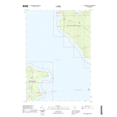
2019 Map of North Manitou Island
USGS Topo · Published 2019About this map
North Manitou Island sits as a preserved wilderness within the Sleeping Bear Dunes National Lakeshore, defined by its interior freshwater bodies and a network of historic pathways. Modern recreation and historical preservation intersect across the island, where Lake Manitou, Tamarack Lake, and Florence Lake dot the forested landscape. A seasonal Passenger Ferry route connects the mainland to these shores, providing access to the N Manitou Island Main Trails and numerous SMI Trails/Old Roads that trace the island's perimeter and interior.
Find a feature on this map
19 named features on this map. Tap any name to fly to it.
Don’t see what you’re looking for? This feature index may not catch every label — zoom into the map to look around manually.
Map Details
Editions of this 2019 North Manitou Island Map
This is the sole edition of this map. No revisions or reprints were ever made.
Other maps of this area

1954 · Traverse City
USGS Topo · 1:250,000

1954 · Escanaba
USGS Topo · 1:250,000

1954 · Manitowoc
USGS Topo · 1:250,000

1955 · Cheboygan
USGS Topo · 1:250,000

1956 · North Manitou
USGS Topo · 1:62,500

1957 · Escanaba
USGS Topo · 1:250,000

1957 · Empire
USGS Topo · 1:62,500

1957 · Maple City
USGS Topo · 1:62,500

1958 · Escanaba
USGS Topo · 1:250,000

1958 · Cheboygan
USGS Topo · 1:250,000