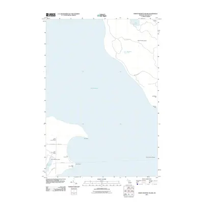
2011 Map of North Manitou Island
USGS Topo · Published 2011About this map
North Manitou Island and the northern tip of South Manitou Island dominate this coastal survey of Leelanau County's offshore landmarks. The map records the isolation of these island landscapes, where internal roads like Chicago Rd and Burdick Rd connect a handful of established sites against the backdrop of Lake Michigan. On the southern island, the South Manitou Island Light stands near Sandy Point, serving as a critical navigation marker for the North Manitou Shoals.
Find a feature on this map
21 named features on this map. Tap any name to fly to it.
Don’t see what you’re looking for? This feature index may not catch every label — zoom into the map to look around manually.
Map Details
Editions of this 2011 North Manitou Island Map
This is the sole edition of this map. No revisions or reprints were ever made.
Other maps of this area

1954 · Traverse City
USGS Topo · 1:250,000

1954 · Escanaba
USGS Topo · 1:250,000

1954 · Manitowoc
USGS Topo · 1:250,000

1955 · Cheboygan
USGS Topo · 1:250,000

1956 · North Manitou
USGS Topo · 1:62,500

1957 · Escanaba
USGS Topo · 1:250,000

1957 · Empire
USGS Topo · 1:62,500

1957 · Maple City
USGS Topo · 1:62,500

1958 · Escanaba
USGS Topo · 1:250,000

1958 · Cheboygan
USGS Topo · 1:250,000