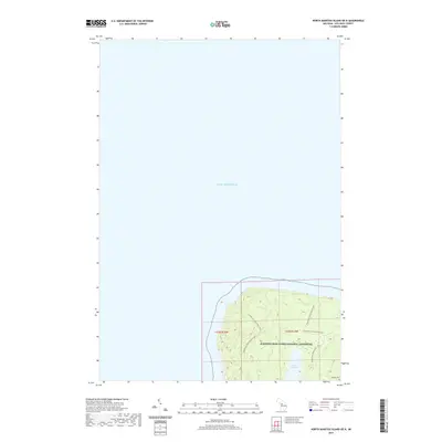
2019 Map of North Manitou Island OE N
USGS Topo · Published 2019About this map
Sleeping Bear Dunes National Lakeshore encompasses the northern reach of North Manitou Island on this 2019 survey. The map details a landscape characterized by elevated interior terrain and the secluded Lake Manitou, which sits inland from the Lake Michigan shoreline. Local historical interest is anchored by Mongoo Cem, located in the southeastern portion of the island's interior. A network of N Manitou Island Main Trails provides the primary means of traversing the island, illustrating the shift from permanent settlement to a protected wilderness and recreational environment within the National Park System. The absence of modern roads highlights the remote nature of this island setting in t32n r14w and t32n r15w.
Find a feature on this map
7 named features on this map. Tap any name to fly to it.
Don’t see what you’re looking for? This feature index may not catch every label — zoom into the map to look around manually.
Map Details
Editions of this 2019 North Manitou Island OE N Map
This is the sole edition of this map. No revisions or reprints were ever made.
Other maps of this area

1954 · Escanaba
USGS Topo · 1:250,000

1955 · Cheboygan
USGS Topo · 1:250,000

1956 · North Manitou
USGS Topo · 1:62,500

1956 · South Fox Island
USGS Topo · 1:62,500

1957 · Escanaba
USGS Topo · 1:250,000

1958 · Escanaba
USGS Topo · 1:250,000

1958 · Cheboygan
USGS Topo · 1:250,000
1983 · North Manitou Island
USGS Topo · 1:25,000

1984 · Washington Island
USGS Topo · 1:100,000

1984 · Charlevoix
USGS Topo · 1:100,000