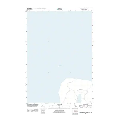
2011 Map of North Manitou Island OE N
USGS Topo · Published 2011About this map
Lake Michigan surrounds the northern reaches of North Manitou Island in this early twenty-first-century survey. The landscape is dominated by the interior Lake Manitou, which sits perched within the island's unique geography. Human history on the island is represented by the Mongoo Cemetery located on the southeastern shore, a vital site for genealogical research and local history. The map illustrates a primarily natural environment, showing the roads and topography that define the northern section of this Lake Michigan landmark.
Find a feature on this map
5 named features on this map. Tap any name to fly to it.
Don’t see what you’re looking for? This feature index may not catch every label — zoom into the map to look around manually.
Map Details
Editions of this 2011 North Manitou Island OE N Map
This is the sole edition of this map. No revisions or reprints were ever made.
Other maps of this area

1954 · Escanaba
USGS Topo · 1:250,000

1955 · Cheboygan
USGS Topo · 1:250,000

1956 · North Manitou
USGS Topo · 1:62,500

1956 · South Fox Island
USGS Topo · 1:62,500

1957 · Escanaba
USGS Topo · 1:250,000

1958 · Escanaba
USGS Topo · 1:250,000

1958 · Cheboygan
USGS Topo · 1:250,000
1983 · North Manitou Island
USGS Topo · 1:25,000

1984 · Washington Island
USGS Topo · 1:100,000

1984 · Charlevoix
USGS Topo · 1:100,000