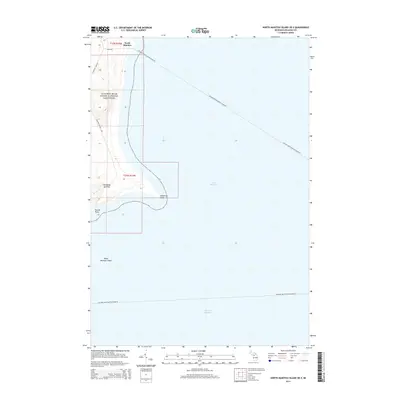
2014 Map of North Manitou Island OE E
USGS Topo · Published 2014About this map
Sleeping Bear Dunes National Lakeshore dominates the eastern shoreline of North Manitou Island, where the island’s shifting sands and high elevations define the coastal landscape. A notable landmark along this stretch is Old Baldy Summit, overlooking the waters where the Leelanau-North Manitou Island Fry provides a vital transportation link to the mainland. The map reveals the intricate coastal geography of the island’s southeastern reaches, including the distinct formations at Dimmicks Point and Donner Point. Off the coast, the dangerous North Manitou Shoals guard the entrance to the Manitou Passage, a historically significant maritime corridor. Inland, a sparse network of paths like Manitou Island Rd and Ferry Rd suggests the managed, protected nature of this wilderness area.
Find a feature on this map
15 named features on this map. Tap any name to fly to it.
Don’t see what you’re looking for? This feature index may not catch every label — zoom into the map to look around manually.
Map Details
Editions of this 2014 North Manitou Island OE E Map
This is the sole edition of this map. No revisions or reprints were ever made.
Other maps of this area

1954 · Traverse City
USGS Topo · 1:250,000

1954 · Escanaba
USGS Topo · 1:250,000

1954 · Manitowoc
USGS Topo · 1:250,000

1955 · Cheboygan
USGS Topo · 1:250,000

1956 · North Manitou
USGS Topo · 1:62,500

1957 · Escanaba
USGS Topo · 1:250,000

1957 · Empire
USGS Topo · 1:62,500

1957 · Maple City
USGS Topo · 1:62,500

1958 · Escanaba
USGS Topo · 1:250,000

1958 · Cheboygan
USGS Topo · 1:250,000