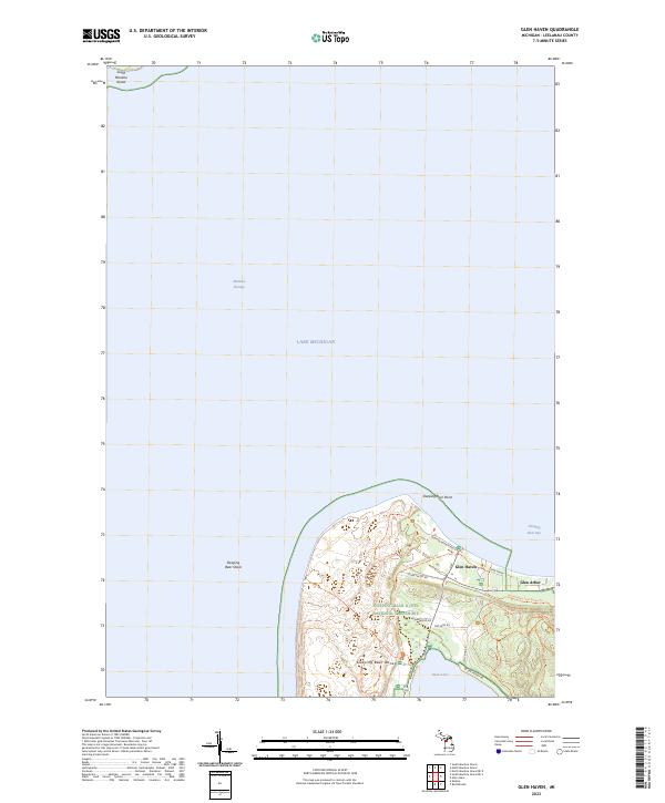
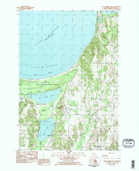
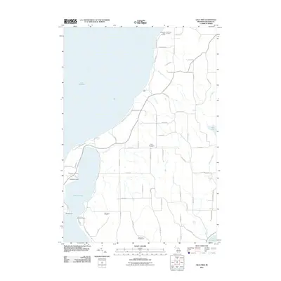
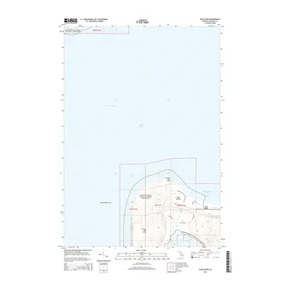
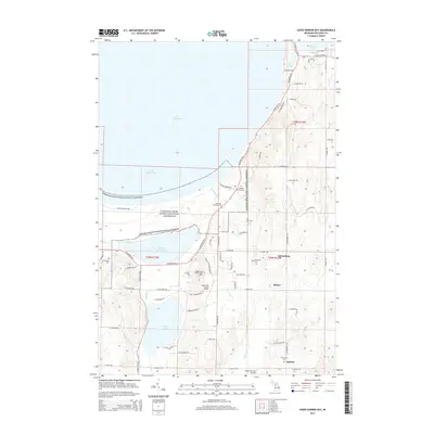
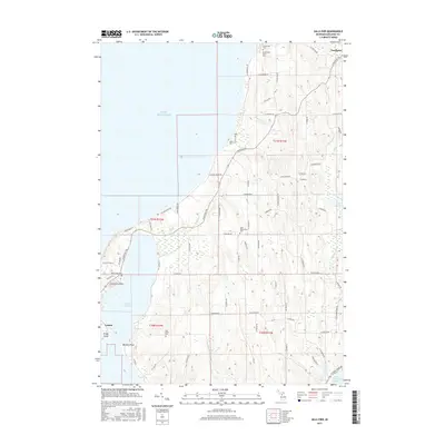
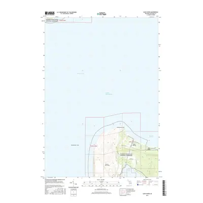
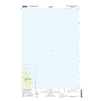
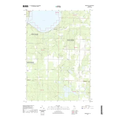
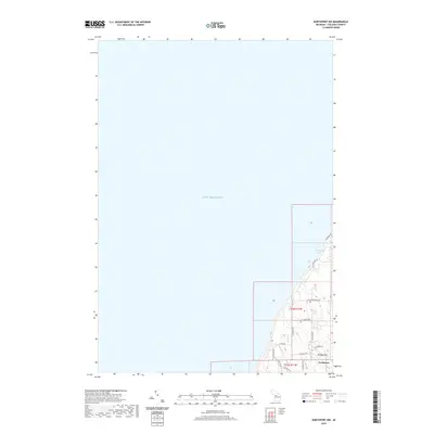
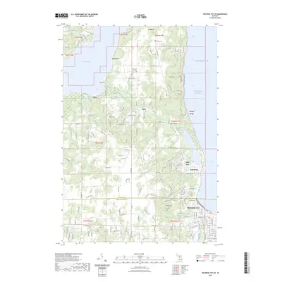
2023 Map of Glen Haven
USGS Topo · Published 2023About this map
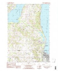
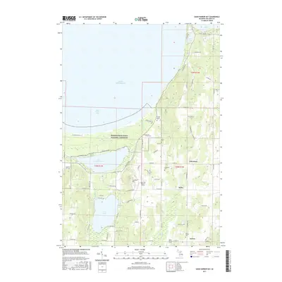
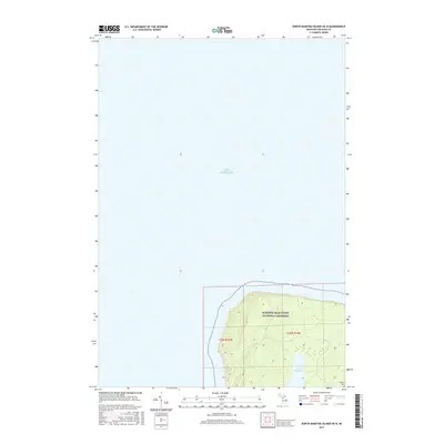
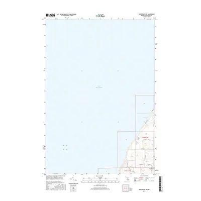
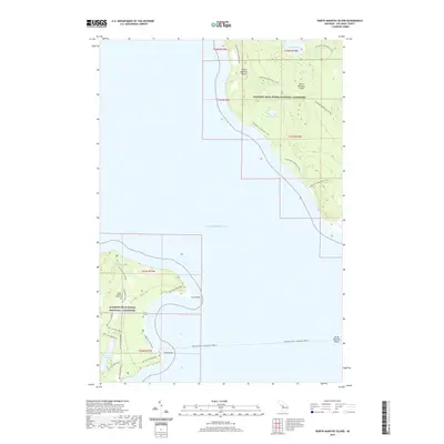
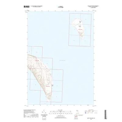
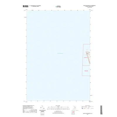
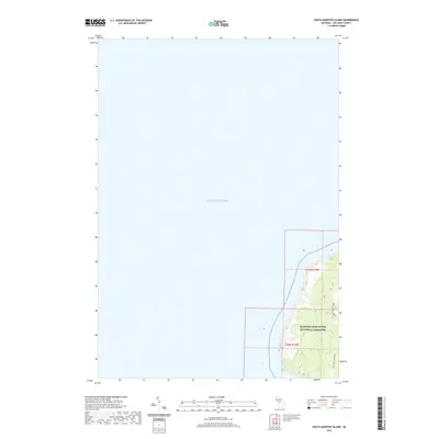
The coastal edge of Leelanau County is defined by the massive shifting sands of Sleeping Bear Dunes National Lakeshore and the Sleeping Bear Dunes Wilderness. This maritime landscape centers on the Manitou Passage, a historically significant shipping channel between the mainland and the northern tip of South Manitou Island. The tiny settlement of Glen Haven sits at the foot of Sleeping Bear Point, serving as a gateway to the dunes and the waters of Sleeping Bear Bay. Further east, the community of Glen Arbor is positioned between the bay and the northern shores of Glen Lake. Modern recreation is etched into the terrain through a network of paths such as the Sb Heritage Trail Paved Trl and the Dunes Trl, which navigate the complex topography near Dune Valley Rd and the high bluffs overlooking the Lake Michigan shoreline.
Find a feature on this map
25 named features on this map. Tap any name to fly to it.
Don’t see what you’re looking for? This feature index may not catch every label — zoom into the map to look around manually.
Map Details
Editions of this 2023 Glen Haven Map
This is the sole edition of this map. No revisions or reprints were ever made.
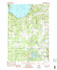
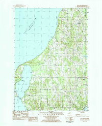
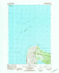
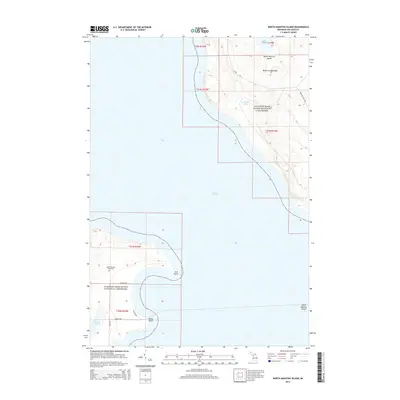
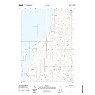
Historical Maps of Glen Arbor Township Through Time
80 maps found
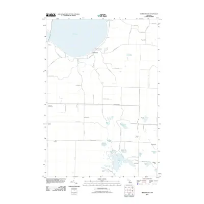
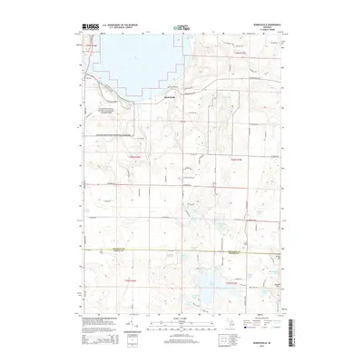
1983 Burdickville
Leelanau County, MI
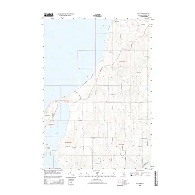
1983 Gills Pier
Leelanau County, MI
1983 Glen Haven
Leelanau County, MI
1983 Good Harbor Bay
Leelanau County, MI
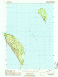
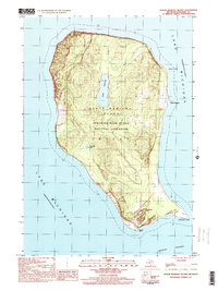
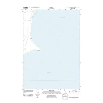
1983 North Manitou Island
Leelanau County, MI
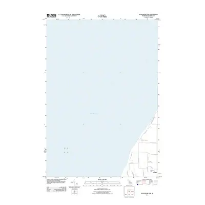
1983 Northport NW
Leelanau County, MI
1983 South Manitou Island
Leelanau County, MI
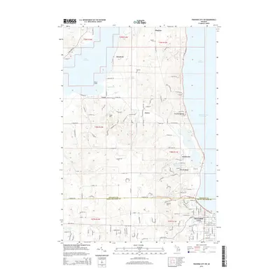
1983 Traverse City SW
Leelanau County, MI
1986 South Fox Island
Leelanau County, MI
1997 North Manitou Island
Leelanau County, MI
2011 Burdickville
Leelanau County, MI
2011 Gills Pier
Leelanau County, MI
2011 Glen Haven
Leelanau County, MI
2011 Good Harbor Bay
Leelanau County, MI
2011 North Manitou Island
Leelanau County, MI
2011 North Manitou Island OE E
Leelanau County, MI
2011 North Manitou Island OE NE
Leelanau County, MI
2011 North Manitou Island OE N
Leelanau County, MI
2011 Northport NW
Leelanau County, MI
2011 South Manitou Island
Leelanau County, MI
2011 South Manitou Island OE S
Leelanau County, MI
2011 Traverse City SW
Leelanau County, MI
2012 South Fox Island
Leelanau County, MI
2012 South Fox Island OE W
Leelanau County, MI
2014 Burdickville
Leelanau County, MI
2014 Gills Pier
Leelanau County, MI
2014 Glen Haven
Leelanau County, MI
2014 Good Harbor Bay
Leelanau County, MI
2014 North Manitou Island
Leelanau County, MI
2014 North Manitou Island OE E
Leelanau County, MI
2014 North Manitou Island OE NE
Leelanau County, MI
2014 North Manitou Island OE N
Leelanau County, MI

2014 Northport NW
Leelanau County, MI
2014 South Fox Island
Leelanau County, MI
2014 South Fox Island OE W
Leelanau County, MI
2014 South Manitou Island
Leelanau County, MI
2014 South Manitou Island OE S
Leelanau County, MI
2014 Traverse City SW
Leelanau County, MI
2017 Burdickville
Leelanau County, MI
2017 Gills Pier
Leelanau County, MI
2017 Glen Haven
Leelanau County, MI
2017 Good Harbor Bay
Leelanau County, MI
2017 North Manitou Island
Leelanau County, MI
2017 North Manitou Island OE E
Leelanau County, MI
2017 North Manitou Island OE NE
Leelanau County, MI
2017 North Manitou Island OE N
Leelanau County, MI
2017 Northport NW
Leelanau County, MI
2017 South Fox Island
Leelanau County, MI
2017 South Fox Island OE W
Leelanau County, MI
2017 South Manitou Island
Leelanau County, MI
2017 South Manitou Island OE S
Leelanau County, MI
2017 Traverse City SW
Leelanau County, MI
2019 Burdickville
Leelanau County, MI
2019 Gills Pier
Leelanau County, MI
2019 Glen Haven
Leelanau County, MI
2019 Good Harbor Bay
Leelanau County, MI
2019 North Manitou Island
Leelanau County, MI
2019 North Manitou Island OE E
Leelanau County, MI
2019 North Manitou Island OE NE
Leelanau County, MI
2019 North Manitou Island OE N
Leelanau County, MI
2019 Northport NW
Leelanau County, MI
2019 South Fox Island
Leelanau County, MI
2019 South Fox Island OE W
Leelanau County, MI
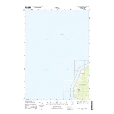
2019 South Manitou Island
Leelanau County, MI
2019 South Manitou Island OE S
Leelanau County, MI
2019 Traverse City SW
Leelanau County, MI
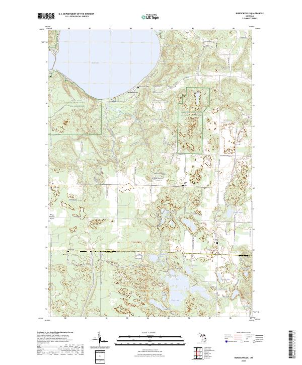
2023 Burdickville
Leelanau County, MI
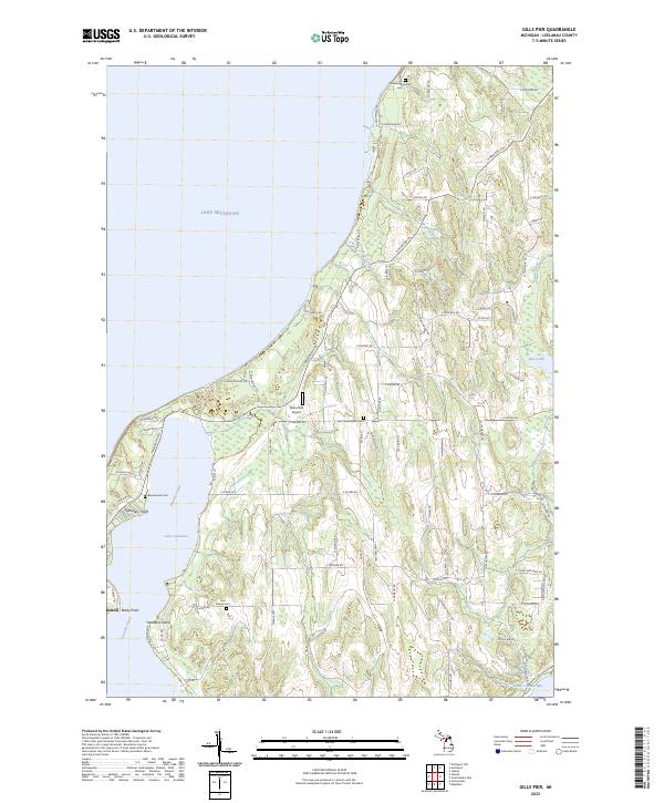
2023 Gills Pier
Leelanau County, MI
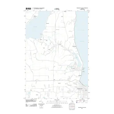
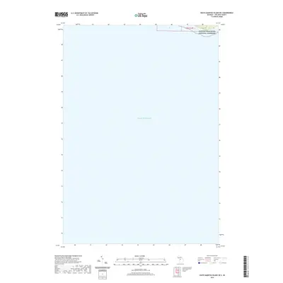
2023 Glen Haven
Leelanau County, MI
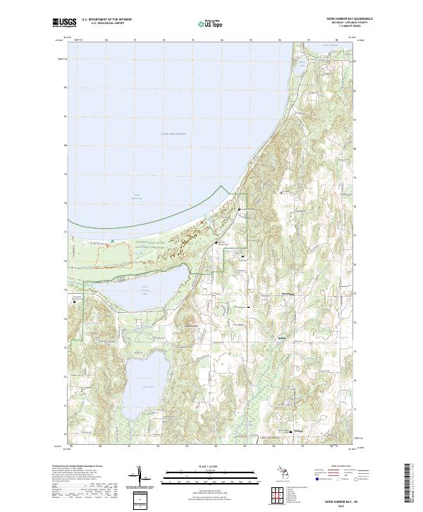
2023 Good Harbor Bay
Leelanau County, MI
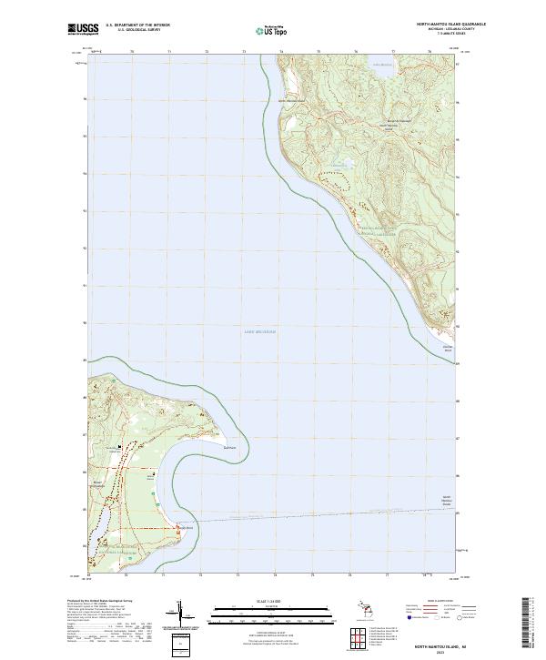
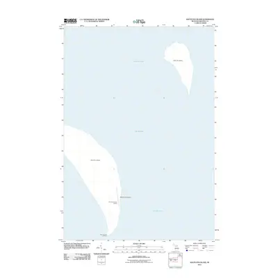
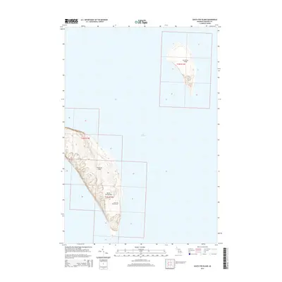
2023 North Manitou Island
Leelanau County, MI
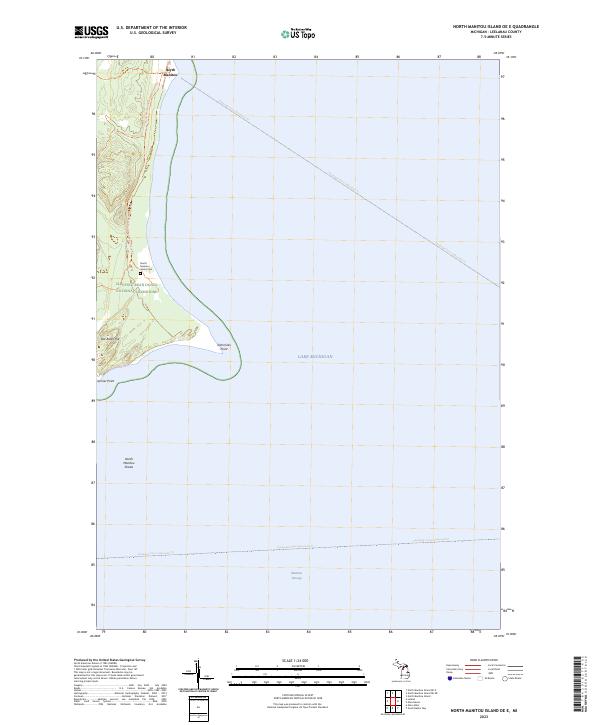
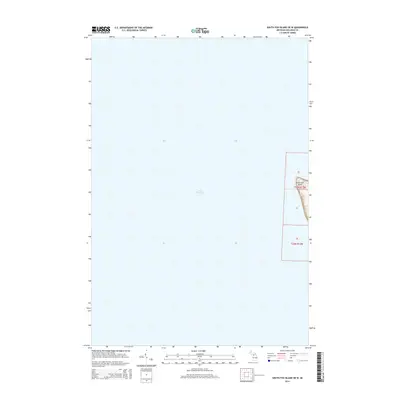
2023 North Manitou Island OE E
Leelanau County, MI
2023 North Manitou Island OE NE
Leelanau County, MI
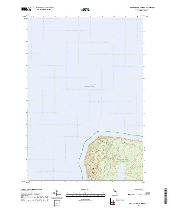
2023 North Manitou Island OE N
Leelanau County, MI
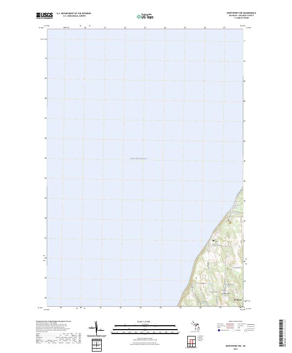
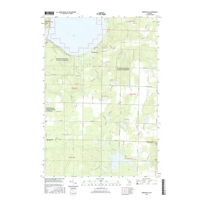
2023 Northport NW
Leelanau County, MI
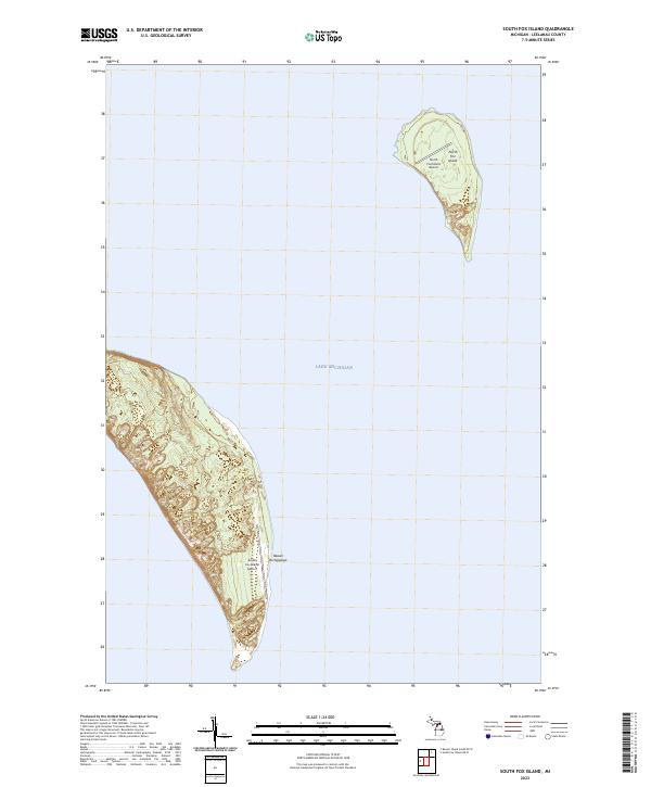
2023 South Fox Island
Leelanau County, MI
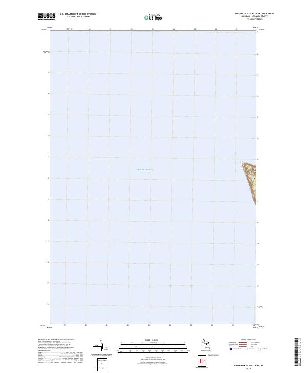
2023 South Fox Island OE W
Leelanau County, MI
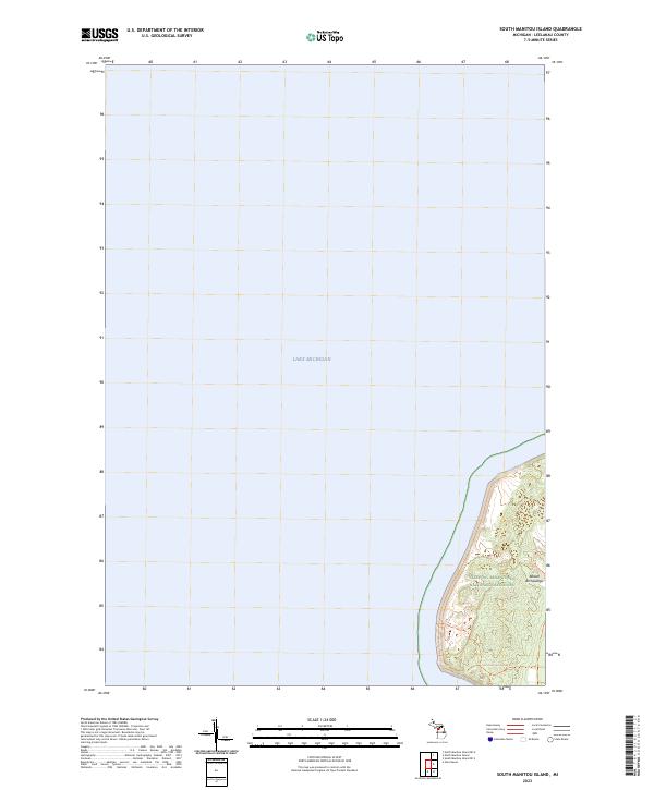
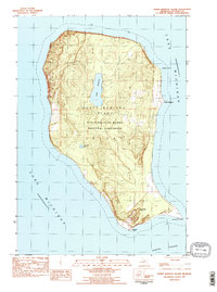
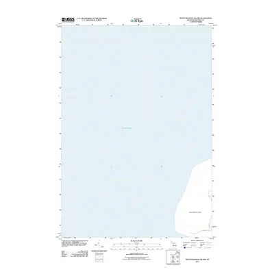
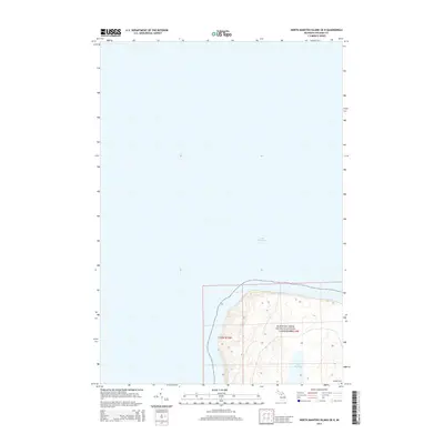
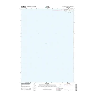
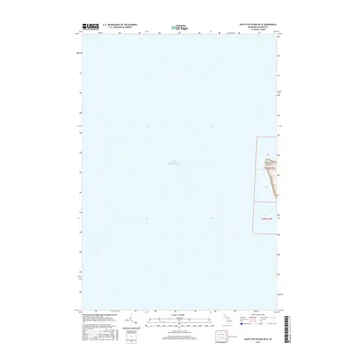
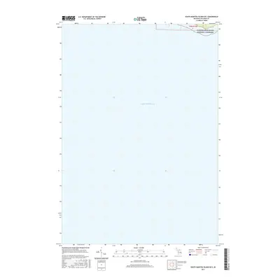
2023 South Manitou Island
Leelanau County, MI
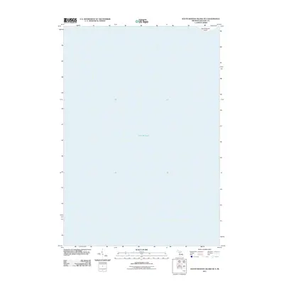
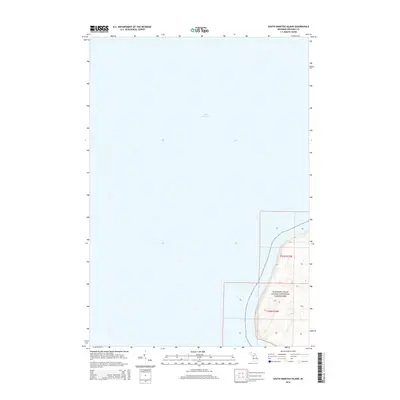
2023 South Manitou Island OE S
Leelanau County, MI
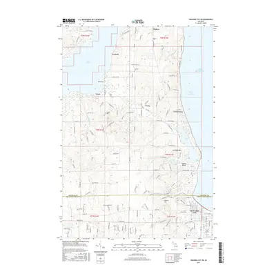
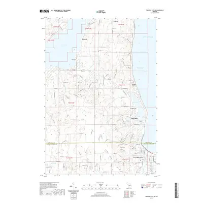
2023 Traverse City SW
Leelanau County, MI