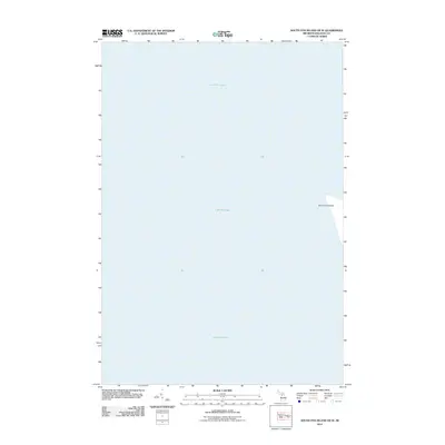
2012 Map of South Fox Island OE W
USGS Topo · Published 2012About this map
Lake Michigan dominates this aquatic survey, where the open waters of the Manitou Passage meet the northeastern reaches of the lake. The western edge of South Fox Island appears along the eastern margin of the sheet, providing a narrow terrestrial anchor in a landscape defined by maritime navigation and isolated coastal geography. As part of Leelanau Township, this segment of the island represents one of the more secluded landmasses in the archipelago, where the shoreline is shaped by the relentless action of the lake. The map reflects the minimal development and remote character of these offshore islands during the early twenty-first century, focusing on the interface between the lake's vast surface and the sandy, wooded periphery of the island.
Find a feature on this map
2 named features on this map. Tap any name to fly to it.
Don’t see what you’re looking for? This feature index may not catch every label — zoom into the map to look around manually.
Map Details
Editions of this 2012 South Fox Island OE W Map
This is the sole edition of this map. No revisions or reprints were ever made.
Other maps of this area

1954 · Escanaba
USGS Topo · 1:250,000

1955 · Gull Island
USGS Topo · 1:62,500

1955 · Cheboygan
USGS Topo · 1:250,000

1956 · South Fox Island
USGS Topo · 1:62,500

1957 · Escanaba
USGS Topo · 1:250,000

1958 · Escanaba
USGS Topo · 1:250,000

1958 · Cheboygan
USGS Topo · 1:250,000

1983 · Manistique
USGS Topo · 1:100,000

1984 · Washington Island
USGS Topo · 1:100,000

1984 · Beaver Island
USGS Topo · 1:100,000