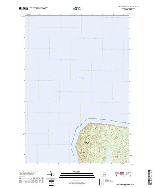
2023 Map of North Manitou Island OE N
USGS Topo · Published 2023About this map
Lake Michigan surrounds the northern reaches of a prominent island landscape, dominated by the protected terrain of the Sleeping Bear Dunes National Lakeshore. The interior is characterized by the Sleeping Bear Dunes Wilderness, where the North Manitou Island Main Trails Trl provides the primary means of navigating the undulating topography. At the heart of the landmass lies Lake Manitou, a significant inland water body. Near the southern edge of this specific sheet, the Mongoo Cem offers a rare point of historical interest for genealogists, marking a legacy of early island inhabitants. The map's layout, split between the vast open water and the northern tip of the island, highlights the isolation and specialized land use of this offshore Michigan territory in the early twenty-first century.
Find a feature on this map
8 named features on this map. Tap any name to fly to it.
Don’t see what you’re looking for? This feature index may not catch every label — zoom into the map to look around manually.
Map Details
Editions of this 2023 North Manitou Island OE N Map
This is the sole edition of this map. No revisions or reprints were ever made.
Other maps of this area

1954 · Escanaba
USGS Topo · 1:250,000

1955 · Cheboygan
USGS Topo · 1:250,000

1956 · North Manitou
USGS Topo · 1:62,500

1956 · South Fox Island
USGS Topo · 1:62,500

1957 · Escanaba
USGS Topo · 1:250,000

1958 · Escanaba
USGS Topo · 1:250,000

1958 · Cheboygan
USGS Topo · 1:250,000
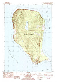
1983 · North Manitou Island
USGS Topo · 1:25,000

1984 · Washington Island
USGS Topo · 1:100,000

1984 · Charlevoix
USGS Topo · 1:100,000