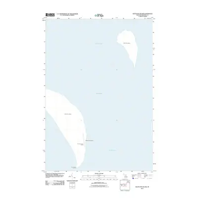
2012 Map of South Fox Island
USGS Topo · Published 2012About this map
South Fox Island and North Fox Island dominate this coastal survey, appearing as isolated landmasses within the Beaver Archipelago of northern Lake Michigan. This 2012 edition documents the southern island's primary landmarks, including the historic South Fox Island Lighthouse on the southern tip and the South Fox Island Airport positioned along the central-eastern shore. The landscape is characterized by its isolation from the Michigan mainland, with the map focusing on the natural shorelines and the few navigational aids and transport facilities that define the human presence on these islands. These details provide a specific look at the infrastructure of the archipelago before modern shifts in land use or conservation management.
Find a feature on this map
6 named features on this map. Tap any name to fly to it.
Don’t see what you’re looking for? This feature index may not catch every label — zoom into the map to look around manually.
Map Details
Editions of this 2012 South Fox Island Map
This is the sole edition of this map. No revisions or reprints were ever made.
Other maps of this area

1955 · Gull Island
USGS Topo · 1:62,500

1955 · Cheboygan
USGS Topo · 1:250,000

1956 · South Fox Island
USGS Topo · 1:62,500

1956 · Beaver Island
USGS Topo · 1:62,500

1958 · Cheboygan
USGS Topo · 1:250,000

1984 · Beaver Island
USGS Topo · 1:100,000

1984 · Charlevoix
USGS Topo · 1:100,000
1986 · South Fox Island
USGS Topo · 1:24,000
2011 · Beaver Island South OE W
USGS Topo · 1:24,000
2012 · South Fox Island OE W
USGS Topo · 1:24,000