Loading...
Loading map...2023 Map of Good Hope
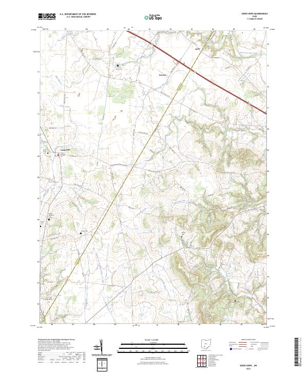
USGS Topo · Published 2023About this map
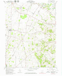
Good Hope and its surrounding agricultural lands straddle the Fayette and Ross county line in this detailed 2023 study. The settlement pattern is defined by several rural clusters including Fairview and Plano, connected by an established network of roads like Washington Good Hope Rd and Miami Trace Rd. The landscape is heavily dissected by waterways, most notably Buckskin Creek and the North Fork Paint Creek, which influence the local topography and placement of farmsteads.
Find a feature on this map
69 named features on this map. Tap any name to fly to it.
Don’t see what you’re looking for? This feature index may not catch every label — zoom into the map to look around manually.
Map Details
Date Portrayed2023
Date Published2023
PublisherU.S. Geological Survey
Map TypeTopographic
Scale1:24000
Physical Dimensions24 x 29 inches
Editions of this 2023 Good Hope Map
This is the sole edition of this map. No revisions or reprints were ever made.
Historical Maps of Ross County Through Time
Featured Locations
Source Details
SourceU.S. Geological Survey
CopyrightPublic Domain