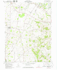
1960 Map of Good Hope
USGS Topo · Published 1980About this map
The agricultural landscape of the Virginia Military District unfolds across this 1960 survey, centered on the village of Good Hope. The terrain is defined by the transition from the flatlands in the north to the increasingly dissected hills of Ragged Ridge in the southeast. A dense network of rural roads, such as Good Hope Road and Eyeman Road, connects small settlements like McLean and Fairview with various family-named cemeteries including Eyeman Bryant Cem and Waugh Cem.
Find a feature on this map
58 named features on this map. Tap any name to fly to it.
Don’t see what you’re looking for? This feature index may not catch every label — zoom into the map to look around manually.
Map Details
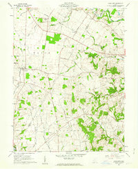
Editions of this 1960 Good Hope Map
2 editions found
Other maps of this area

1906 · Mt Sterling
USGS Topo · 1:62,500

1911 · Era
USGS Topo · 1:62,500

1912 · Roxabell
USGS Topo · 1:62,500

1913 · Era
USGS Topo · 1:62,500

1914 · Roxabell
USGS Topo · 1:62,500

1917 · Greenfield
USGS Topo · 1:62,500

1943 · Era
USGS Topo · 1:62,500

1944 · Greenfield
USGS Topo · 1:62,500

1944 · Roxabell
USGS Topo · 1:62,500

1947 · Columbus
USGS Topo · 1:250,000