Loading...
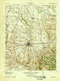
Loading map...1944 Map of Greenfield
USGS Topo · Published 1944About this map
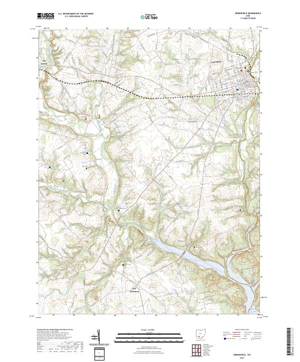
Greenfield serves as the central hub of this mid-century landscape, where the confluence of the Baltimore and Ohio and the Detroit Toledo and Ironton railroads drove local industry. The map reveals a high density of rural infrastructure, particularly the numerous one-room schoolhouses such as Pikes Peak Sch, Buck Run Sch, and Thornton Sch that served the outlying farming communities.
Find a feature on this map
104 named features on this map. Tap any name to fly to it.
Don’t see what you’re looking for? This feature index may not catch every label — zoom into the map to look around manually.
Map Details
Date Portrayed1944
Date Published1944
PublisherU.S. Geological Survey
Map TypeTopographic
Scale1:62,500
Physical Dimensions16 x 21.6 inches
Editions of this 1944 Greenfield Map
This is the sole edition of this map. No revisions or reprints were ever made.
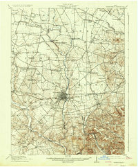
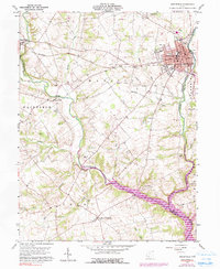
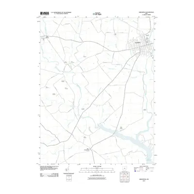
Historical Maps of Greenfield Through Time
8 maps found
Featured Locations
Source Details
SourceU.S. Geological Survey
CopyrightPublic Domain