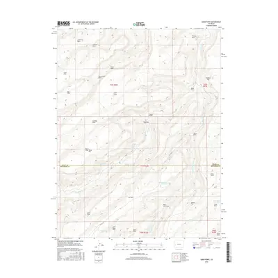
2016 Map of Good Point
USGS Topo · Published 2016About this map
Escalante Cr and its tributaries carve a complex network of canyons and mesas through this portion of Colorado as it appeared in 2016. The high desert landscape is defined by dramatic elevation changes, notably along the Escalante Rim and the broad plateau of Dry Mesa. Evidence of range management and historical water access is scattered across the terrain, from high-altitude sources like Cottonwood Spring and Alum Spring to man-made catchments such as Dry Mesa Reservoir Number 2 and Stone Basin Reservoir.
Find a feature on this map
43 named features on this map. Tap any name to fly to it.
Don’t see what you’re looking for? This feature index may not catch every label — zoom into the map to look around manually.
Map Details
Editions of this 2016 Good Point Map
This is the sole edition of this map. No revisions or reprints were ever made.
Other maps of this area
1956 · Moab
USGS Topo · 1:250,000
1959 · Moab
USGS Topo · 1:250,000
1960 · Moab
USGS Topo · 1:250,000
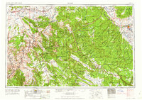
1962 · Moab
USGS Topo · 1:250,000
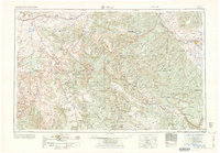
1964 · Moab
USGS Topo · 1:250,000
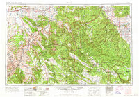
1965 · Moab
USGS Topo · 1:250,000
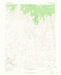
1965 · Point Creek
USGS Topo · 1:24,000
1969 · Roubideau
USGS Topo · 1:24,000
1969 · Triangle Mesa
USGS Topo · 1:24,000
1969 · Dominguez
USGS Topo · 1:24,000