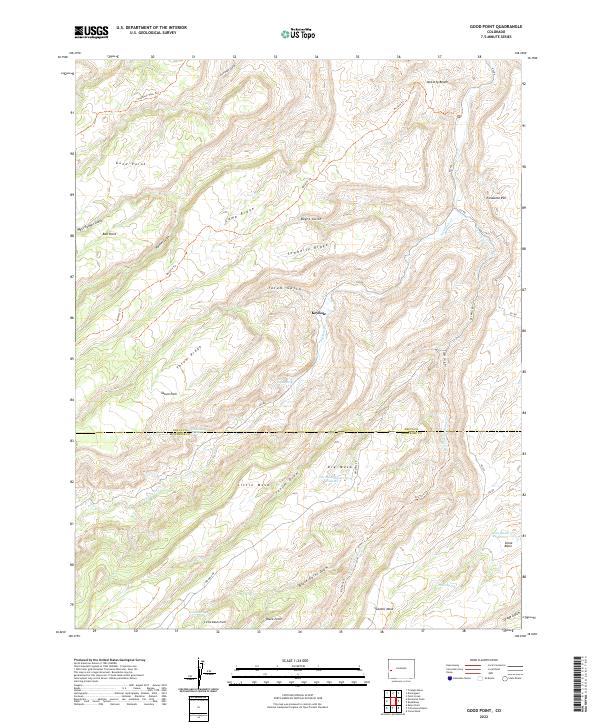
2022 Map of Good Point
USGS Topo · Published 2022About this map
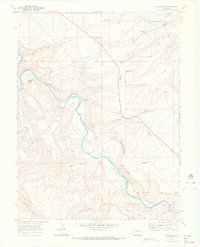
McCarty Bench and the high plateaus of the Uncompahgre region define this high-elevation landscape along the border of Delta and Montrose Counties. The terrain is deeply incised by drainages such as West Palmer Gulch, Tatum Draw, and Black Point Draw, which channel seasonal water toward Escalante Cr. The map shows a sparse network of historical access routes, including the Gunnison Pack Trl and McCarty Trl, which reflect the area's long history of ranching and transit across the mesas.
Find a feature on this map
47 named features on this map. Tap any name to fly to it.
Don’t see what you’re looking for? This feature index may not catch every label — zoom into the map to look around manually.
Map Details
Editions of this 2022 Good Point Map
This is the sole edition of this map. No revisions or reprints were ever made.
Other maps of this area

1956 · Moab
USGS Topo · 1:250,000

1959 · Moab
USGS Topo · 1:250,000

1960 · Moab
USGS Topo · 1:250,000

1962 · Moab
USGS Topo · 1:250,000

1964 · Moab
USGS Topo · 1:250,000

1965 · Moab
USGS Topo · 1:250,000
1965 · Point Creek
USGS Topo · 1:24,000
1969 · Roubideau
USGS Topo · 1:24,000
1969 · Triangle Mesa
USGS Topo · 1:24,000
1969 · Dominguez
USGS Topo · 1:24,000