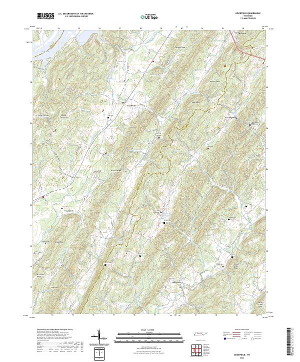
2022 Map of Goodfield
USGS Topo · Published 2022About this map
Goodfield Valley and the parallel ridges of No Pone Ridge and Cotton Port Ridge define the rhythmic topography of this landscape along the Meigs and McMinn County line. The settlement pattern is largely agricultural, with small communities like Goodfield, Hillsview, and Clear Springs connected by a network of county roads. The abundance of family-named cemeteries, such as Cox Cem, Howser Cem, and Perry Cem, suggests a deeply rooted local history and a high degree of genealogical value for researchers tracing these East Tennessee families.
Find a feature on this map
108 named features on this map. Tap any name to fly to it.
Don’t see what you’re looking for? This feature index may not catch every label — zoom into the map to look around manually.
Map Details
Editions of this 2022 Goodfield Map
This is the sole edition of this map. No revisions or reprints were ever made.
Other maps of this area

1886 · Cleveland
USGS Topo · 1:125,000

1887 · Kingston
USGS Topo · 1:125,000

1891 · Kingston
USGS Topo · 1:125,000

1892 · Cleveland
USGS Topo · 1:125,000

1893 · Kingston
USGS Topo · 1:125,000

1895 · Cleveland
USGS Topo · 1:125,000

1901 · Cleveland
USGS Topo · 1:125,000

1935 · Calhoun
USGS Topo · 1:24,000

1935 · Goodfield
USGS Topo · 1:24,000

1935 · Evensville
USGS Topo · 1:24,000