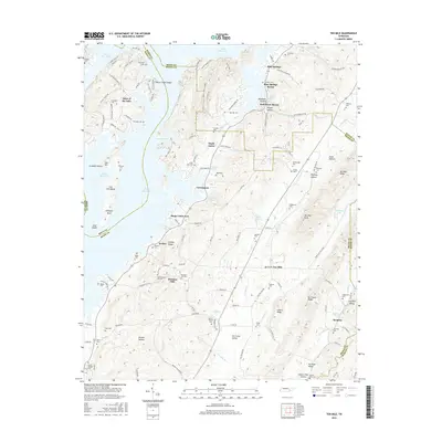
1942 Map of Goodfield
USGS Topo · Published 1960About this map
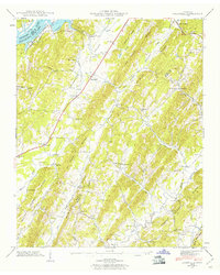
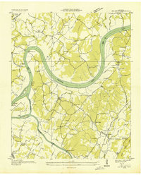
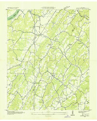
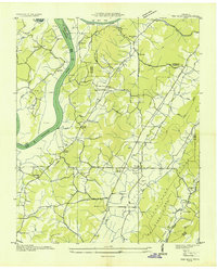
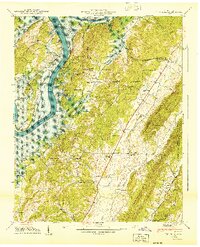
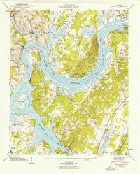
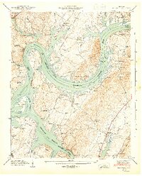
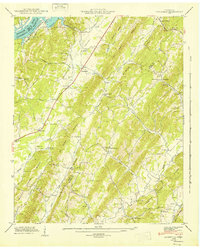
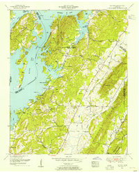
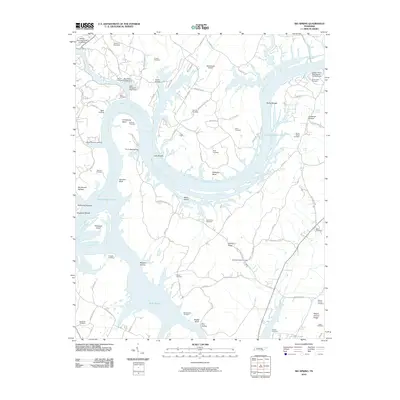
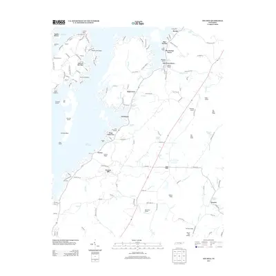
The Tennessee River corridor along the Rhea and Meigs county line defines this 1942 landscape, where the waters of Chickamauga Lake meet a series of prominent parallel ridges. This wartime survey documents a rural Tennessee economy organized around the valley floor, with small settlements like Goodfield and Allen Store serving as local hubs. The terrain is marked by the long, northeast-trending No Pone Ridge and Mc Minn Ridge, which forced roads like the Cotton Port Road to follow the natural contours of the land.
Find a feature on this map
53 named features on this map. Tap any name to fly to it.
Don’t see what you’re looking for? This feature index may not catch every label — zoom into the map to look around manually.
Map Details
Editions of this 1942 Goodfield Map
This is the sole edition of this map. No revisions or reprints were ever made.
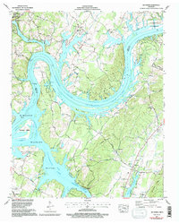
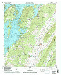
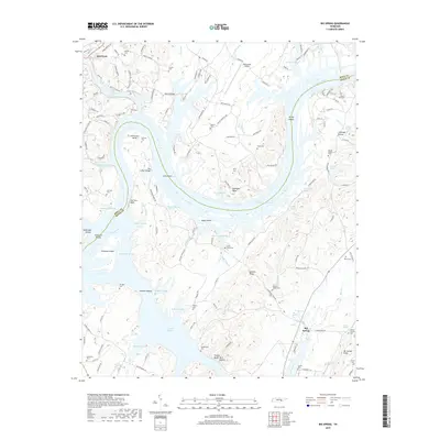
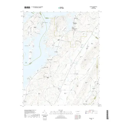
Historical Maps of Allen Through Time
27 maps found
1935 Big Spring
Meigs County, TN
1935 Goodfield
Meigs County, TN
1936 Ten Mile
Meigs County, TN
1940 Ten Mile
Meigs County, TN
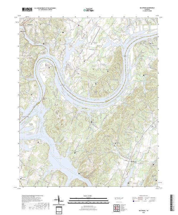
1942 Big Spring
Meigs County, TN
1942 Goodfield
Meigs County, TN
1943 Big Spring
Meigs County, TN
1943 Goodfield
Meigs County, TN
1952 Ten Mile
Meigs County, TN
1967 Big Spring
Meigs County, TN
1967 Goodfield
Meigs County, TN
1973 Ten Mile
Meigs County, TN
2010 Big Spring
Meigs County, TN
2010 Goodfield
Meigs County, TN
2011 Ten Mile
Meigs County, TN
2013 Big Spring
Meigs County, TN
2013 Goodfield
Meigs County, TN
2013 Ten Mile
Meigs County, TN
2016 Big Spring
Meigs County, TN
2016 Goodfield
Meigs County, TN
2016 Ten Mile
Meigs County, TN
2019 Big Spring
Meigs County, TN
2019 Goodfield
Meigs County, TN
2019 Ten Mile
Meigs County, TN
2022 Big Spring
Meigs County, TN
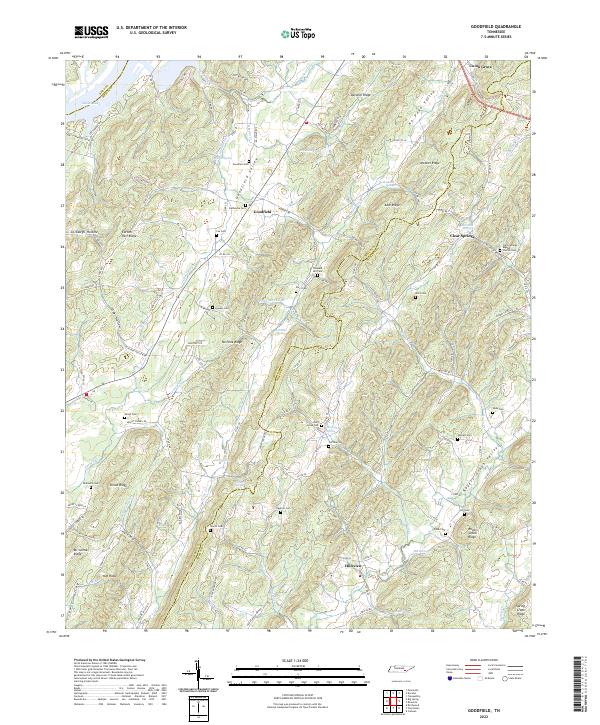
2022 Goodfield
Meigs County, TN
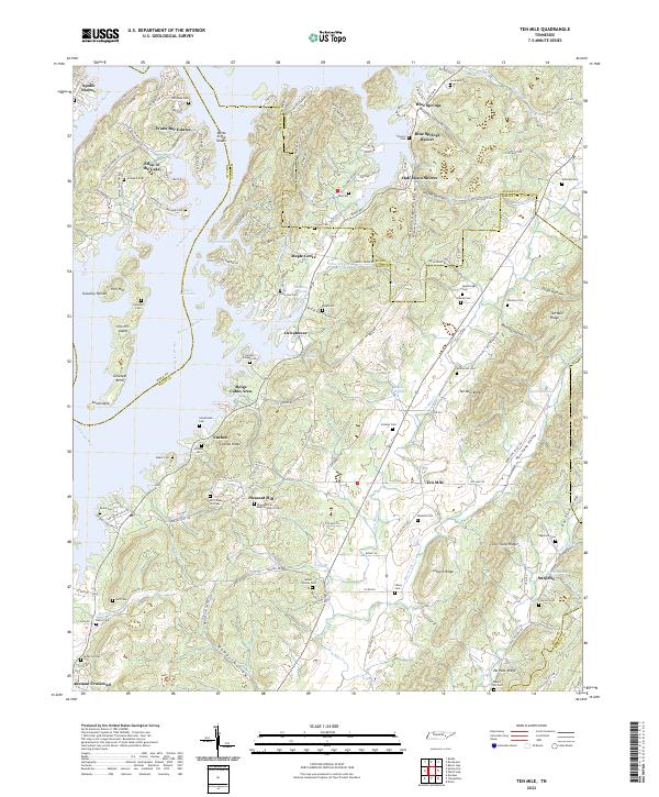
2022 Ten Mile
Meigs County, TN