Loading...
Loading map...1972 Map of Goodman
USGS Topo · Published 1990About this map
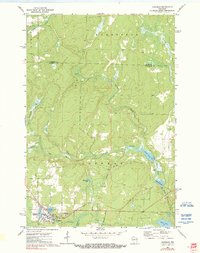
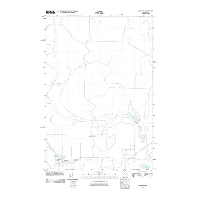
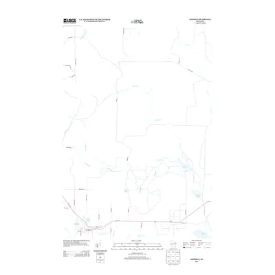
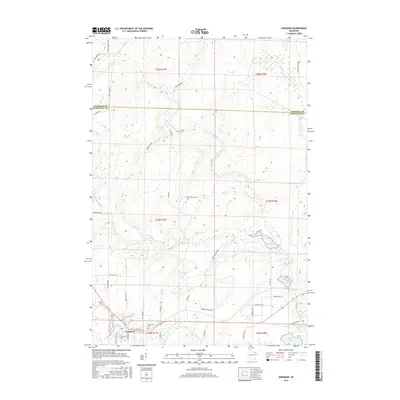
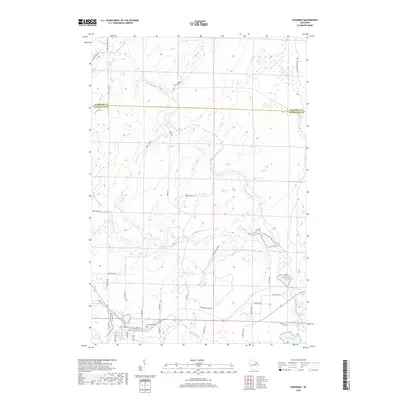
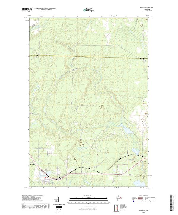
The timber and industrial town of Goodman dominates the southern portion of this northern Wisconsin landscape, situated at the intersection of the Soo Line and the Pike River. The town's layout reflects its industrial origins, centered around the Goodman Millpond and several specialized facilities, including a Chemical plant and a sewage disposal site. To the west, the Old Grade RR marks the path of former logging activity, while the Glenwood Cem sits just north of the residential blocks.
Find a feature on this map
27 named features on this map. Tap any name to fly to it.
Don’t see what you’re looking for? This feature index may not catch every label — zoom into the map to look around manually.
Map Details
Date Portrayed1972
Date Published1990
PublisherU.S. Geological Survey
Map TypeTopographic
Scale1:24,000
Physical Dimensions21.53 x 27.19 inches
Editions of this 1972 Goodman Map
2 editions found
Historical Maps of Goodman Through Time
8 maps found
Featured Locations
Source Details
SourceU.S. Geological Survey
CopyrightPublic Domain