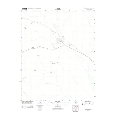
2012 Map of Goodsprings
USGS Topo · Published 2012About this map
Goodsprings serves as the focal point of this Nevada desert landscape, a town with deep roots in the region's mining history. The presence of the Argentena Mine Camp and the Goodsprings Rural Station Post Office points to a settlement pattern defined by extractive industry and the necessary infrastructure to support isolated mountain workers. The terrain is marked by essential water sources in an arid environment, including the New England Mining Companys Spring, New England Springs, and the primary Good-Spring.
Find a feature on this map
22 named features on this map. Tap any name to fly to it.
Don’t see what you’re looking for? This feature index may not catch every label — zoom into the map to look around manually.
Map Details
Editions of this 2012 Goodsprings Map
This is the sole edition of this map. No revisions or reprints were ever made.
Other maps of this area

1910 · Ivanpah
USGS Topo · 1:250,000

1912 · Ivanpah
USGS Topo · 1:250,000

1942 · Ivanpah
USGS Topo · 1:250,000

1947 · Kingman
USGS Topo · 1:250,000

1948 · Kingman
USGS Topo · 1:250,000

1954 · Kingman
USGS Topo · 1:250,000

1955 · Kingman
USGS Topo · 1:250,000

1955 · Roach Lake
USGS Topo · 1:62,500

1956 · Clark Mountain
USGS Topo · 1:62,500

1956 · Shenandoah Peak
USGS Topo · 1:62,500