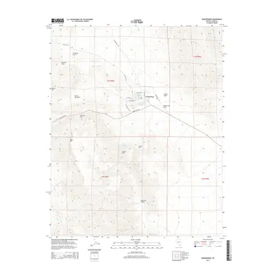
2014 Map of Goodsprings
USGS Topo · Published 2014About this map
Goodsprings sits at the base of the Spring Mountains, serving as a central hub for the surrounding desert landscape in this early 21st-century survey. The town is marked by its post office Po and a network of local roads including W Reimann Rd and Esmeralda. The surrounding terrain is a complex of significant peaks and washes, reflecting a history of mining and water scarcity. Features such as Good Spring, New England Springs, and New England Spring hint at the essential water sources that sustained the settlement. To the west, the topography rises sharply toward Table Mtn and Lookout Peak, while the southeastern corner is defined by the open floor of Goodsprings Valley as it merges into the Mojave Desert. Notable transit routes like Kingston Rd and the Goodsprings Byp navigate through Columbia Pass and Crystal Pass, connecting the high desert peaks to the canyon floors of Deadmans Canyon and Bonanza Wash.
Find a feature on this map
32 named features on this map. Tap any name to fly to it.
Don’t see what you’re looking for? This feature index may not catch every label — zoom into the map to look around manually.
Map Details
Editions of this 2014 Goodsprings Map
This is the sole edition of this map. No revisions or reprints were ever made.
Other maps of this area
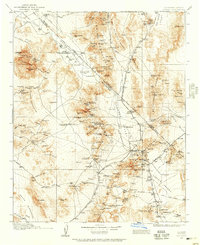
1910 · Ivanpah
USGS Topo · 1:250,000
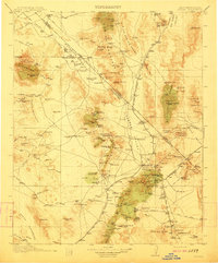
1912 · Ivanpah
USGS Topo · 1:250,000
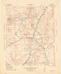
1942 · Ivanpah
USGS Topo · 1:250,000
1947 · Kingman
USGS Topo · 1:250,000
1948 · Kingman
USGS Topo · 1:250,000
1954 · Kingman
USGS Topo · 1:250,000
1955 · Kingman
USGS Topo · 1:250,000
1955 · Roach Lake
USGS Topo · 1:62,500
1956 · Clark Mountain
USGS Topo · 1:62,500
1956 · Shenandoah Peak
USGS Topo · 1:62,500