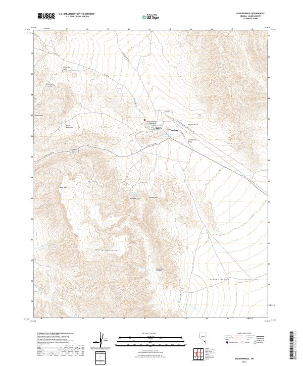
2021 Map of Goodsprings
USGS Topo · Published 2021About this map
Goodsprings stands as the primary anchor in this high-desert landscape of Clark County, situated at the edge of the Mojave Desert. The map reveals a legacy of resource extraction and transit through the Spring Mountains, marked by industrial infrastructure such as the Goodsprings Bypass Gravel Haul Rte and Rainbow Quarry Rd. Water sources, essential in this arid environment, are clearly documented at Good Spring, New England Springs, and the specifically named New England Mining Companys Spring, suggesting the area's historical reliance on localized groundwater for both mining operations and settlement.
Find a feature on this map
31 named features on this map. Tap any name to fly to it.
Don’t see what you’re looking for? This feature index may not catch every label — zoom into the map to look around manually.
Map Details
Editions of this 2021 Goodsprings Map
This is the sole edition of this map. No revisions or reprints were ever made.
Other maps of this area

1910 · Ivanpah
USGS Topo · 1:250,000

1912 · Ivanpah
USGS Topo · 1:250,000

1942 · Ivanpah
USGS Topo · 1:250,000

1947 · Kingman
USGS Topo · 1:250,000

1948 · Kingman
USGS Topo · 1:250,000

1954 · Kingman
USGS Topo · 1:250,000

1955 · Kingman
USGS Topo · 1:250,000

1955 · Roach Lake
USGS Topo · 1:62,500

1956 · Clark Mountain
USGS Topo · 1:62,500

1956 · Shenandoah Peak
USGS Topo · 1:62,500