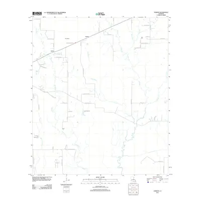
2012 Map of Gordon
USGS Topo · Published 2012About this map
Gordon sits at the heart of this Beauregard Parish survey, a landscape defined by the winding course of Beckwith Cr. The settlement and its surrounding rural infrastructure reveal a pattern of development concentrated along the northern transport corridor. The terrain is notably low-lying, characterized by a complex network of wetlands and small drainage channels that feed into the larger creek system. This 2012 snapshot documents the modern footprint of the area, showing the persistent relationship between the local geography and the modest network of roads that service the northern Louisiana countryside.
Find a feature on this map
2 named features on this map. Tap any name to fly to it.
Don’t see what you’re looking for? This feature index may not catch every label — zoom into the map to look around manually.
Map Details
Editions of this 2012 Gordon Map
This is the sole edition of this map. No revisions or reprints were ever made.
Other maps of this area

1935 · Buhler
USGS Topo · 1:31,680

1935 · Moss Bluff
USGS Topo · 1:31,680

1935 · Gordon
USGS Topo · 1:31,680

1935 · Gaytine
USGS Topo · 1:31,680

1935 · Longville
USGS Topo · 1:31,680

1947 · Gaytine
USGS Topo · 1:31,680

1947 · Moss Bluff
USGS Topo · 1:31,680

1947 · DeQuincy
USGS Topo · 1:31,680

1947 · Sulphur Mines
USGS Topo · 1:31,680

1947 · Oretta
USGS Topo · 1:31,680