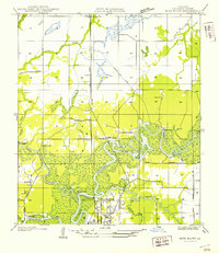
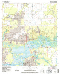
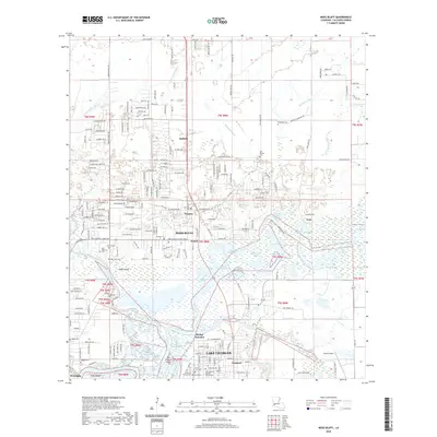
1947 Map of Moss Bluff
USGS Topo · Published 1947About this map
The Calcasieu River meanders through this portion of Calcasieu Parish, creating a complex network of waterways including English Bayou, Moss Bay, and Old Town Bay. This survey captures the northern outskirts of Lake Charles at a time when the region relied heavily on river crossings, documented by the presence of Southerland Ferry, Perkins Ferry, and Goss Ferry. These river-transit points served small settlements like Ararat, Newton, and Belfield along the U.S. Highway No 171 Pacific Southern corridor.
Find a feature on this map
29 named features on this map. Tap any name to fly to it.
Don’t see what you’re looking for? This feature index may not catch every label — zoom into the map to look around manually.
Map Details
Editions of this 1947 Moss Bluff Map
This is the sole edition of this map. No revisions or reprints were ever made.
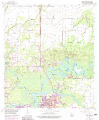
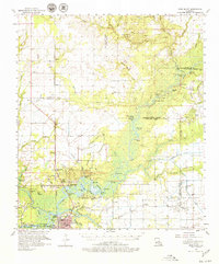
Historical Maps of Lake Charles Through Time
10 maps found
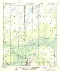
1935 Moss Bluff
Calcasieu Parish, LA
1947 Moss Bluff
Calcasieu Parish, LA
1955 Moss Bluff
Calcasieu Parish, LA
1957 Moss Bluff
Calcasieu Parish, LA
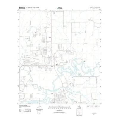
1994 Moss Bluff
Calcasieu Parish, LA
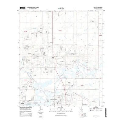
2012 Moss Bluff
Calcasieu Parish, LA
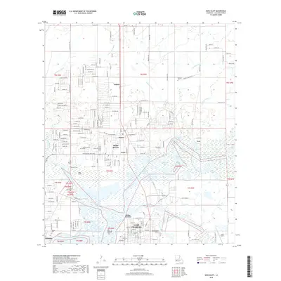
2015 Moss Bluff
Calcasieu Parish, LA
2018 Moss Bluff
Calcasieu Parish, LA
2020 Moss Bluff
Calcasieu Parish, LA
2024 Moss Bluff
Calcasieu Parish, LA