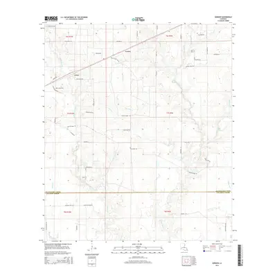
2015 Map of Gordon
USGS Topo · Published 2015About this map
The settlement of Gordon and the surrounding piney lowlands of southwest Louisiana are documented here during the mid-2010s. This landscape is defined by its complex hydrography, where the winding Beckwith Creek and Hickory Branch drain toward the Little River south of the parish line. The map illustrates a rural area transitioning between Beauregard Parish and Calcasieu Parish, characterized by timber-management tracts and small family settlements like Gekop. Genealogists and local historians can locate early burial sites at Gillie Cem and Alston Cem, which remain tucked away from the primary rural roads. Notable landmarks like The Glade and Mayhaw Glade signify distinctive natural clearings within the dense drainage network of Tiger Glade Cr and Indian Bayou.
Find a feature on this map
60 named features on this map. Tap any name to fly to it.
Don’t see what you’re looking for? This feature index may not catch every label — zoom into the map to look around manually.
Map Details
Editions of this 2015 Gordon Map
This is the sole edition of this map. No revisions or reprints were ever made.
Other maps of this area
1935 · Buhler
USGS Topo · 1:31,680
1935 · Moss Bluff
USGS Topo · 1:31,680
1935 · Gordon
USGS Topo · 1:31,680
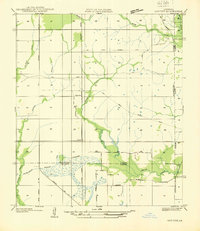
1935 · Gaytine
USGS Topo · 1:31,680
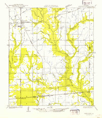
1935 · Longville
USGS Topo · 1:31,680
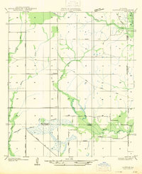
1947 · Gaytine
USGS Topo · 1:31,680
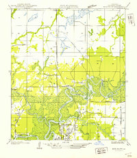
1947 · Moss Bluff
USGS Topo · 1:31,680
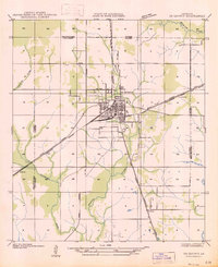
1947 · DeQuincy
USGS Topo · 1:31,680
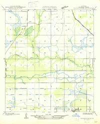
1947 · Sulphur Mines
USGS Topo · 1:31,680
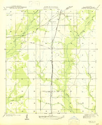
1947 · Oretta
USGS Topo · 1:31,680