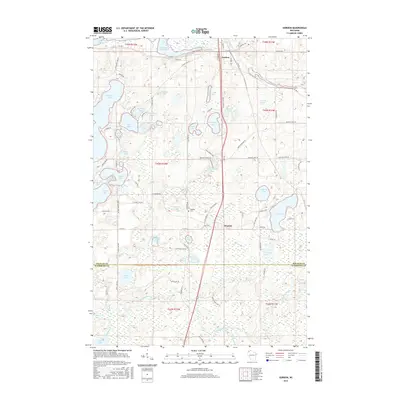
2015 Map of Gordon
USGS Topo · Published 2015About this map
The community of Gordon serves as the central hub of this northern Wisconsin landscape, situated where the Saint Croix River and the Totagatic River drainage basins define the geography of southern Douglas and northern Washburn counties. The terrain is characterized by a dense concentration of glacial lakes and flowages, including Saint Croix Flowage and Bardon Lake in the north, while the southern reaches are dominated by the winding course of the Totagatic River. This 2015 survey reveals a pattern of modern settlement concentrated around these water bodies, with seasonal homes and local access roads branching off from the primary north-south corridor of US Highway 53. The mapping of extensive wetlands throughout the Gordon quadrangle underscores the region's importance for local conservation and the outdoor recreation economy that sustains these communities today.
Find a feature on this map
1 named feature on this map. Tap any name to fly to it.
Don’t see what you’re looking for? This feature index may not catch every label — zoom into the map to look around manually.
Map Details
Editions of this 2015 Gordon Map
This is the sole edition of this map. No revisions or reprints were ever made.
Other maps of this area

1945 · Highland
USGS Topo · 1:48,000

1945 · Solon Springs
USGS Topo · 1:48,000

1947 · Chittamo
USGS Topo · 1:48,000

1947 · Minong
USGS Topo · 1:48,000

1949 · Solon Springs
USGS Topo · 1:48,000

1949 · Chittamo
USGS Topo · 1:48,000

1949 · Minong
USGS Topo · 1:48,000

1949 · Highland
USGS Topo · 1:48,000

1953 · Ashland
USGS Topo · 1:250,000

1958 · Ashland
USGS Topo · 1:250,000