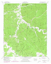
1951 Map of Gordonsburg
USGS Topo · Published 1979About this map
Meriwether Lewis National Monument anchors the southern portion of this mid-century survey, marking the historic intersection of the Nathez Trace Parkway with the local landscape of Lewis County. The terrain is defined by an intricate network of hollows, such as English Hollow and Sweet Hollow, which drain into the winding Swan Creek. This drainage pattern deeply influenced the placement of early settlements and family landmarks.
Find a feature on this map
89 named features on this map. Tap any name to fly to it.
Don’t see what you’re looking for? This feature index may not catch every label — zoom into the map to look around manually.
Map Details
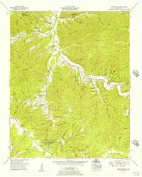
Editions of this 1951 Gordonsburg Map
2 editions found
Other maps of this area

1901 · Colombia
USGS Topo · 1:125,000

1905 · Waynesboro
USGS Topo · 1:125,000

1936 · Riverside
USGS Topo · 1:24,000

1936 · Mt Joy
USGS Topo · 1:24,000

1936 · Beaverdam Springs
USGS Topo · 1:24,000

1936 · Henryville
USGS Topo · 1:24,000

1936 · Sunrise
USGS Topo · 1:24,000

1936 · Crestview
USGS Topo · 1:24,000

1936 · Greenfield Bend
USGS Topo · 1:24,000

1936 · Kimmins
USGS Topo · 1:24,000