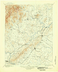
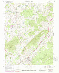
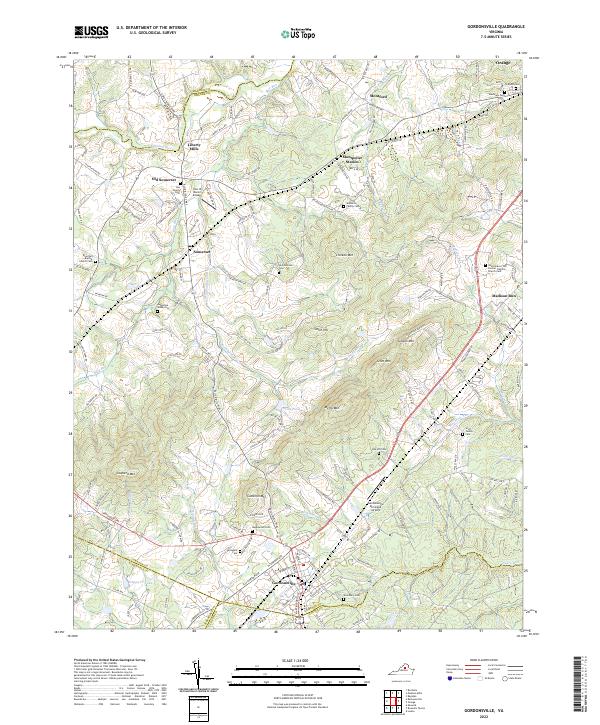
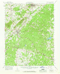
1961 Map of Gordonsville
USGS Topo · Published 1962About this map
James Madison Grave and the Montpelier estate serve as the historic anchor for this central Virginia landscape during the early 1960s. The region is defined by the intersection of the Southern RR and the Chesapeake and Ohio RR, which shaped the development of towns like Gordonsville, Orange, and Louisa. Beyond these commerce hubs, the map reveals a dense network of rural landmarks, including Boswells Tavern and numerous country churches such as Bright Hope Ch and Little Zion Ch. The transition of the era is evident in the presence of the Gordonsville Airport and the Louisa Dragway, contrasted against traditional industry sites like Liberty Mills. Notable water features like the Rapidan River and Lake Louisa define the drainage patterns of the Piedmont terrain.
Find a feature on this map
96 named features on this map. Tap any name to fly to it.
Don’t see what you’re looking for? This feature index may not catch every label — zoom into the map to look around manually.
Map Details
Editions of this 1961 Gordonsville Map
2 editions found
Historical Maps of Orange Through Time
5 maps found