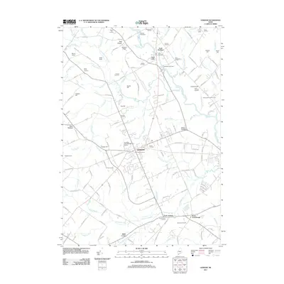
2011 Map of Gorham
USGS Topo · Published 2011About this map
Gorham and its outlying neighborhoods serve as the focal point of this coastal Maine landscape, characterized by a transition from organized town centers to agricultural stretches and wooded hills. The town’s identity is shaped by its institutional landmarks, including the University of Southern Maine at Gorham and the Gorham Raceway located southwest of the main settlement. Near the northern boundary, industrial and correctional history converges at Little Falls, where the State Reformatory for Men sits near a series of barriers along the Presumpscot River, including Little Falls Dam and Mallison Falls Dam.
Find a feature on this map
158 named features on this map. Tap any name to fly to it.
Don’t see what you’re looking for? This feature index may not catch every label — zoom into the map to look around manually.
Map Details
Editions of this 2011 Gorham Map
This is the sole edition of this map. No revisions or reprints were ever made.
Other maps of this area

1891 · Portland
USGS Topo · 1:62,500

1891 · Buxton
USGS Topo · 1:62,500

1892 · Buxton
USGS Topo · 1:62,500

1893 · Portland
USGS Topo · 1:62,500

1893 · Buxton
USGS Topo · 1:62,500

1894 · Gray
USGS Topo · 1:62,500

1896 · Sebago
USGS Topo · 1:62,500

1898 · Gray
USGS Topo · 1:62,500

1914 · Portland
USGS Topo · 1:48,000

1916 · Portland
USGS Topo · 1:62,500